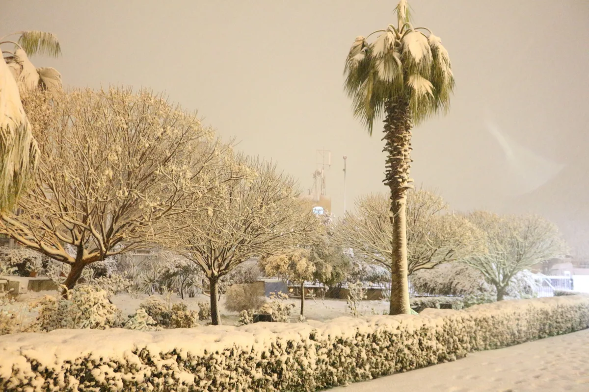
WASM- Heavy rainfall is set to resume over northern and central regions, extending toward the south, resulting in the formation of floods, especially as rain will fall on snow accumulations in the high mountains. However, snow will continue to fall on the peaks of high mountains exceeding 1050-1100 meters, including the highlands of Ajloun and Jerash, southern regions, and the highest peaks of Amman, particularly those that witnessed heavy snow accumulations.
Southwestern winds will intensify, blowing at speeds exceeding 50 km/hour during the impact of the new low-pressure system over the coasts of Palestine, accompanied by polar air.
Temperatures will drop significantly after the low-pressure system recedes again and will approach freezing in many regions, especially high mountains.
WASM Regional Center is monitoring the resumption of heavy rainfall starting Monday night through the end of the week in intervals, accompanied by heavy snow and heavy rain due to the continued impact of the polar wave.
The Kingdom was affected by a strong snowstorm on Wednesday, resulting in heavy snow accumulations, with WASM Regional Center being the only one to accurately forecast this storm days in advance.
To know the temperatures in your cities, please visit the following link.. www.wasmweather.com
Alert: New weather depression tomorrow Friday with heavy rainfall and snow on high mountain peaks