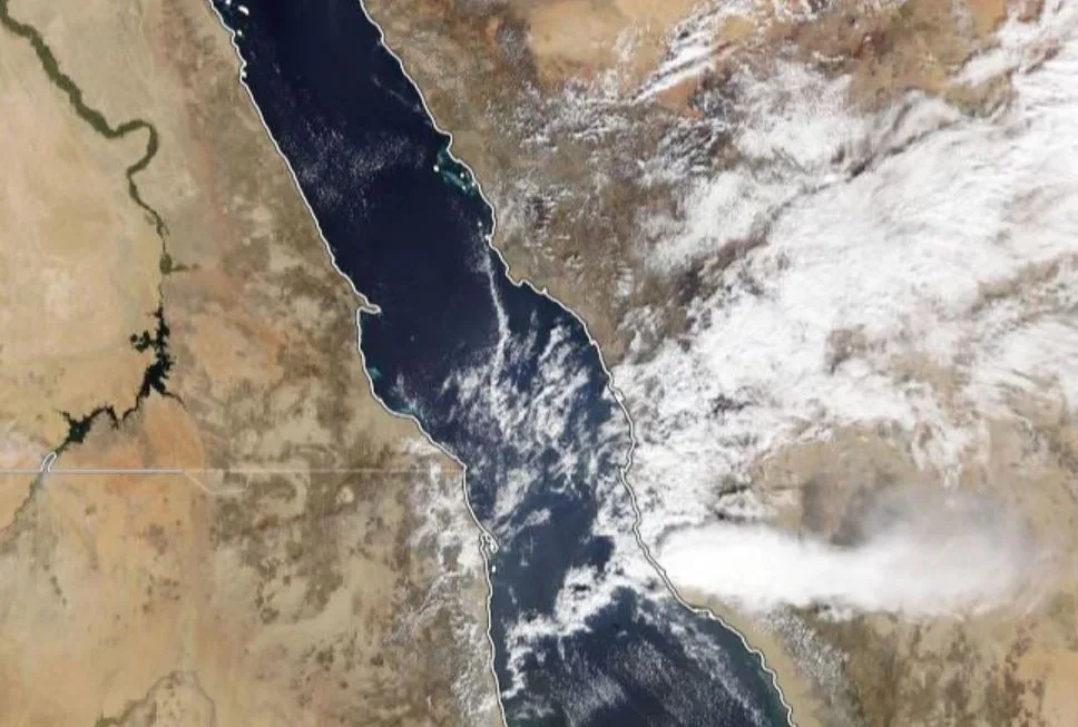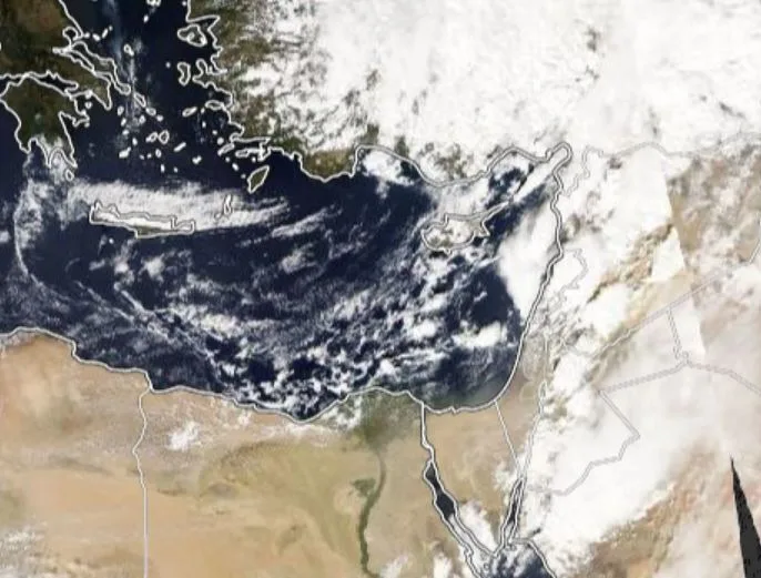
WASM – The WASM Regional Center is monitoring the approach of heavy rainfall conditions affecting countries in the region at the end of this month, which will begin from northern Saudi Arabia at the end of the week and extend toward Jordan and the Levant in the final days of the month.
As a result of the weather conditions affecting the climate of the Arabian Peninsula and the Levant during the autumn season, the activity of cold fronts classified as "KATA Type" increases, which are considered the most dangerous to weather conditions, and these fronts cause severe and widespread rainfall in short periods and increase the chances of sudden floods and flash floods.
The reason for the danger of this type of cold front is its direct meeting with the humid Red Sea low-pressure system in the region, which causes warm humid air to rise vertically at the contact edge of this cold front and intensifies thunderstorms and heavy rainfall.
Cold Front KATA:
It is a cold front that meets directly with a warm air mass with high humidity. When studying a vertical cross-section of the air, it is observed that:
- The cold air meets warm and humid air directly and at the surface, which leads to the rise of warm and humid air on the side of the cold air mass at a contact angle of 90 degrees from the surface layers to the upper layers directly.
- This causes vertical movement of humid air upward that resembles the air rise process during barotropic instability conditions, leading to the development of strong thunderstorms and severe and widespread rainfall in short periods.
- Temperature is high and humidity is high before the front arrives, cloud tops are low before the front crosses and some showers may occur, thunderstorms form along the front contact line, then weather stabilizes immediately after the front passes and temperature drops significantly.
- The jet stream and upper-level currents blow "crosswise" with this type of front, which increases the intensity of atmospheric activity.
- These fronts are active in the region during the autumn season and the beginning of winter, and sometimes they are clearly observed during the end of winter, especially in February.
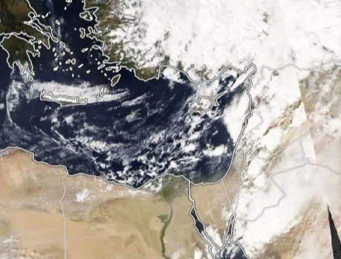
The most important example of this type of cold front is the front that affected Jordan on October 25, 2018 and caused widespread flooding and a large number of casualties in the Dead Sea region, most of whom were children – may God have mercy on them – and these fronts also affect the Red Sea region and the coasts of Makkah and Jeddah directly, causing a line of thunderstorms to form on the front of this front.
This front can be distinguished from barotropic instability conditions by its comprehensive effect compared to the limited and random effect of instability conditions.
There are many types of fronts that affect and bring disturbed weather conditions, such as stationary fronts, cold fronts of ANA Type which are abundant during winter storms in winter, or warm fronts whose effect increases during mid-winter, and occluded fronts, and these weather conditions are all classified as "baroclinic" instability, and we must not forget upper-level cold fronts which sometimes follow surface cold fronts of various types and bring large amounts of rainfall in the Levant usually.
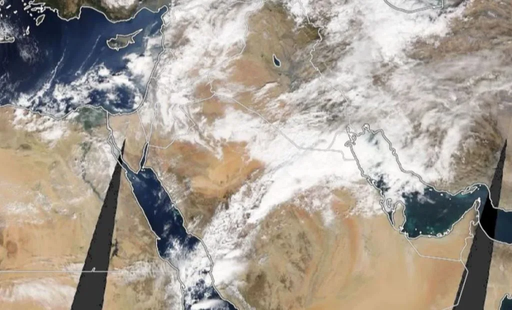
The WASM Regional Center always relies on this meteorological data to determine the severity of weather conditions, and classifies cold fronts according to their level of danger, and with forecasts that this type of fronts will increase in the final days of the current month and the beginning of November (i.e., at their usual time).
Regarding the situation that will affect the Arabian Peninsula region at the end of the current week, a stationary front will affect the region, which is characterized by heavy and continuous precipitation for a long period of time at the location of this front in the Hail region, northern Qassim and Hafar Al-Batin, with KATA fronts expected to activate during the final days of the current month and the beginning of November.
The WASM Regional Center team observes that many confuse "barotropic-type" atmospheric instability cases with this type of dangerous cold fronts, especially in the Levant region.
'