WASM- The Kingdom is being affected by a very cold series of several rainy low-pressure systems with heavy rainfall, low temperatures, and strong winds. These weather depressions will begin late Saturday/Sunday night and continue throughout the first half of March in intervals.
The main feature of these low-pressure systems will be extremely cold weather with temperatures close to zero Celsius on some days, and large amounts of rainfall in many areas.
These weather depressions are expected to temporarily recede mid-month, then return and renew after mid-March, continuing in intervals throughout the blessed month.
Friday and Saturday .. Strong winds then heat increase..
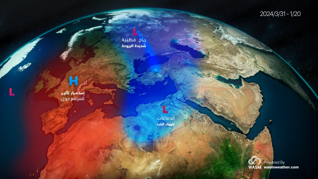
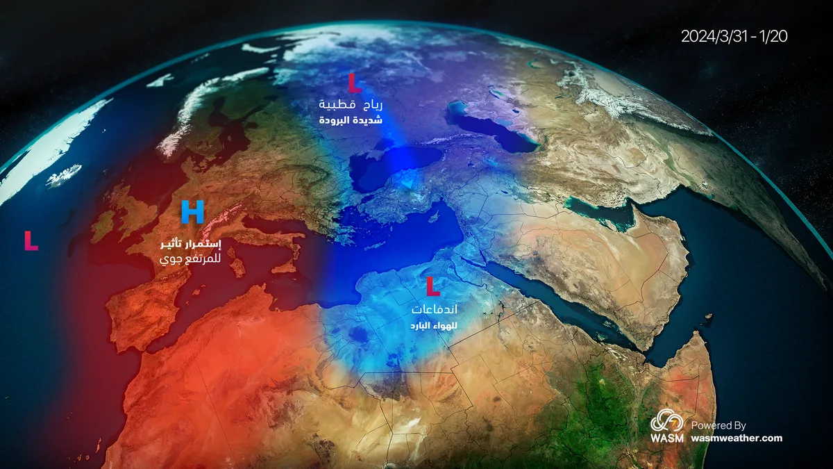
Strong and very cold easterly winds are expected on Friday, with gusts reaching 70 km/hour in the mountains. These winds originate from the northern Arabian Peninsula region after being driven from the extremely cold Siberian region. The extension of the Siberian high-pressure system toward the eastern Mediterranean region is considered an excellent indicator of an imminent return of heavy rainfall to the region at times.
Temperatures will rise noticeably and significantly on Saturday, due to the Kingdom being affected by a warm air front at the forefront of a low-pressure system expected to be positioned over the island of Cyprus.
Saturday/Sunday night through Monday.. Scattered rainfall and typical winter conditions..
The Kingdom will be affected by a winter rainy low-pressure system in the late hours of Saturday/Sunday night and continuing through Monday daytime, bringing cold and rainy conditions in intervals, particularly over northern and central regions of the Kingdom. Heavy rainfall from this system cannot be ruled out during certain periods as a result of the high humidity accompanying the low-pressure system being driven from the Mediterranean Sea.
Weather will stabilize temporarily mid-next week with a temporary retreat in cold conditions, as the Kingdom is affected by the front of a strong weather depression expected over the Kingdom that will bring very large amounts of rainfall and extremely cold conditions. All details will be issued progressively.
End of next week.. Strong low-pressure system and very large amounts of rainfall..
As a result of the expected surge of a very cold polar air mass from central Siberia directly toward the eastern Mediterranean, a deepening low-pressure system is expected to form over the island of Cyprus during the end of next week (starting from Thursday) and continuing for several days accompanied by very large amounts of rainfall, extremely cold conditions, and strong winds. All details will be issued progressively.
The activity of strong and very cold low-pressure systems during March is considered typical; however, the intensity of these weather depressions has increased in recent years, coinciding with a significant increase in rainfall rates in Jordan and eastern Mediterranean countries. Many areas of the Kingdom have completed their entire rainfall season early and rarely in an unprecedented manner during recent weeks as a result of the succession of weather depressions and rainy conditions.