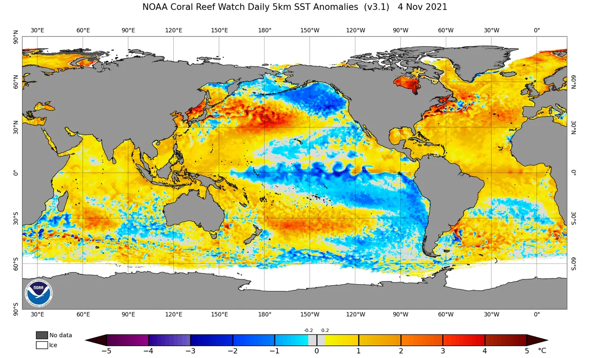
WASM- The La Niña climate phenomenon has recorded a sudden and unexpected decline in the eastern parts of the tropical Pacific Ocean region, coinciding with a sudden rise in temperatures on the coasts of western United States and Canada.
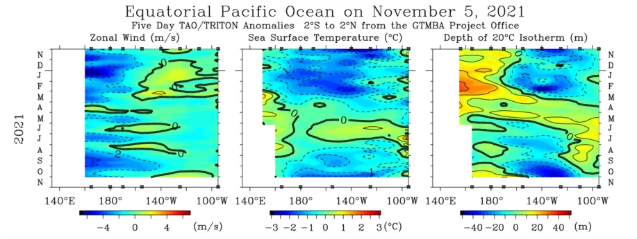
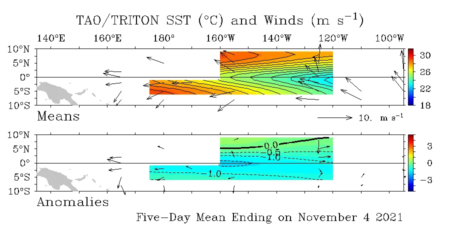
Looking at the scientific details, a significant weakening was observed in the speed and movement of trade winds in the eastern and central tropical areas of the Pacific Ocean, as well as the formation of warm "Kelvin waves" in the western region, which is a major indicator of an imminent and unexpected fade of the La Niña climate phenomenon.
La Niña and El Niño climate phenomena occur in the tropical region of the Pacific Ocean, representing decreases and increases in temperatures above their normal rates, which directly affect atmospheric circulation and the movement of the jet stream. This is reflected in the general shape of the atmosphere and weather conditions in various regions of the world
.
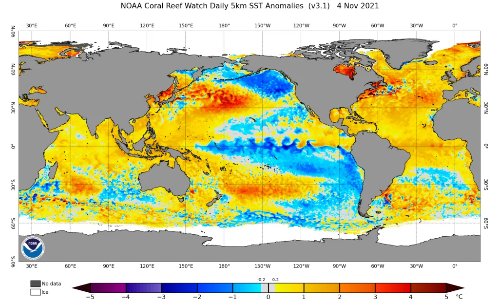
It is noted from the images above a significant and sudden rise in temperatures in the eastern tropical Pacific Ocean region and the appearance of warm waters in the subsurface layers of the western Pacific Ocean, which is an indicator of the beginning of warm Kelvin wave formation that will end the La Niña condition soon and early, unexpectedly. This is reflected in more extreme and strong atmospheric circulation and increased chances of severe storms in many regions of the world.
Vast areas of eastern Europe and parts of the northern Pacific and Atlantic oceans recorded storms stronger than usual during the beginning of the season, which also caused rainy conditions on vast areas of the Mediterranean region, and an early start of snowstorms in eastern European regions. This is considered an indicator of expectations for the occurrence of early cold waves in the eastern Mediterranean, the Levant, the Mediterranean Sea and northern Arabian Peninsula.
It is expected that rainy and cold conditions will resume in vast areas of Turkey, the eastern Mediterranean, the Arabian Peninsula and Iran during the coming weeks, starting from the mid-month period. These rainy conditions come at scattered and spaced intervals but are characterized by strength at times.