
WASM- WASM Regional Center issues the seasonal weather bulletin for the 2020-2021 season using our developed statistical climate model, coinciding with the release of results for the rainy season. The general atmospheric circulation regulation for the European continent, North Africa, and the Middle East region has been issued.
Autumn.. October and November
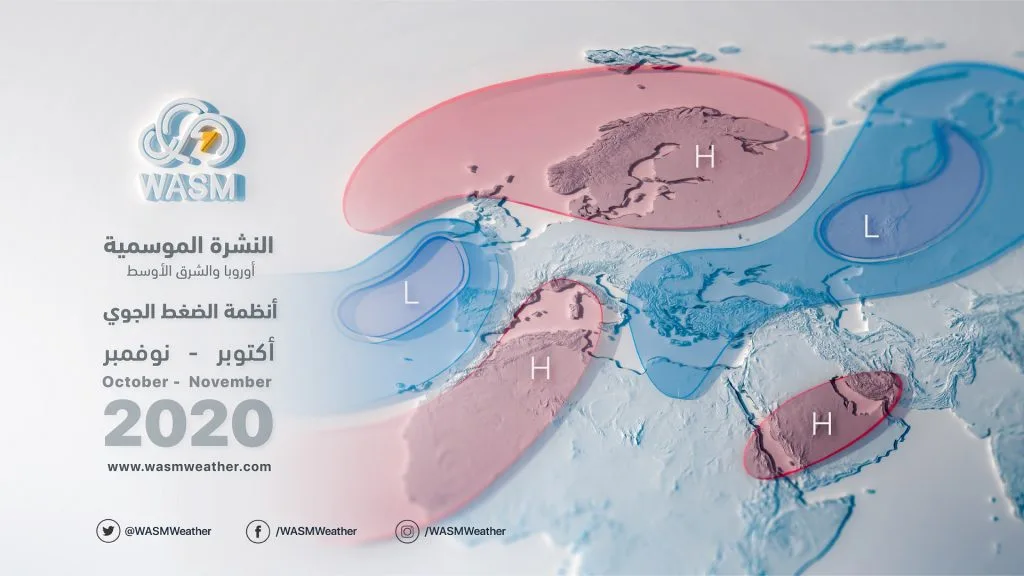
The activity of North Atlantic lows continues, pushing toward western Europe, resulting from high atmospheric pressure over parts of North Africa and northern and eastern Europe. This leads to concentration of rainfall in parts of western Europe, Libya, Italy, and Tunisia, and affects eastern Algeria and the Maghreb at certain times.
This atmospheric system causes a high-pressure zone to dominate the Arabian Peninsula, bringing stability and dry conditions in weather patterns and temperatures rising above their averages. The Red Sea low occasionally extends toward western Saudi Arabia, the Levant, and Egypt, bringing warm and dry weather, and sometimes weak unstable atmospheric conditions if cold air masses approach the region.
Starting from November, cooler atmospheric surges toward the Levant and Arabian Peninsula increase; some will be predominantly dry, but the chances of atmospheric instability increase by late November due to active Red Sea low activity, which primarily affects western Saudi Arabia, Red Sea coasts, the Medina and Mecca regions, Ha'il, and Al-Jawf, extending toward Tabuk, the Levant, Jordan, and Egypt at times.
Tropical atmospheric activity is expected to be weak in the Arabian Sea due to tropical wave activity moving away toward Australia and western Pacific regions.
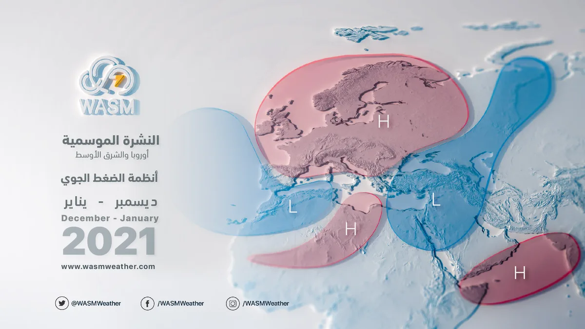
Winter.. December and January..
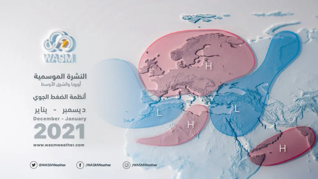
As a result of the intensification of the Siberian and European highs, an atmospheric system known as a Blocking Pattern is expected to form over most parts of the European continent. Atlantic storms push toward southwestern Europe and sometimes toward Morocco and northern Algeria, which helps build a high-pressure zone over North Africa, increasing the strength of the high-pressure zone over Europe. This results in intensely cold Siberian air from central and eastern Siberia pushing toward the Arabian Peninsula, Egypt, the Levant, and Jordan, leading to extremely cold weather and quasi-consecutive atmospheric conditions, but primarily concentrated over the Levant, Egypt, eastern and central Saudi Arabia, Kuwait, Arab Gulf states, UAE, Qatar, Oman, Iraq, and sometimes northern Saudi Arabia, with drier weather over western Saudi Arabia.
Climatic Conditions..
The impact of La Niña in the tropical Pacific region does not necessarily mean dry or very dry weather conditions in the region or vice versa, as general climatic conditions play a significant role in the atmospheric circulation at the same time. La Niña is expected to be temporary and recede quickly during late autumn, which clearly affects the atmospheric circulation, resulting in different weather conditions in various parts of the world.
The developed climate model at WASM Center does not rely only on similar years and periods, but rather on how climate factors' changes affect the atmosphere, resulting in seasons that differ from each other at varying rates. Our climate model successfully predicted with high accuracy the number of tropical Arabian Sea storms in the 2019-2020 season despite such numbers not being repeated in previous climate records, due to its different working method compared to other climate models. It also successfully predicted the strength of the previous rainy season, which achieved record numbers in various regions of the Middle East, Arabian Peninsula, and Jordan. This model is still in the experimental and development phase, and we expect further development over the next 3-4 years.
You can visit our website to find out the temperature in your city.. www.wasmweather.com