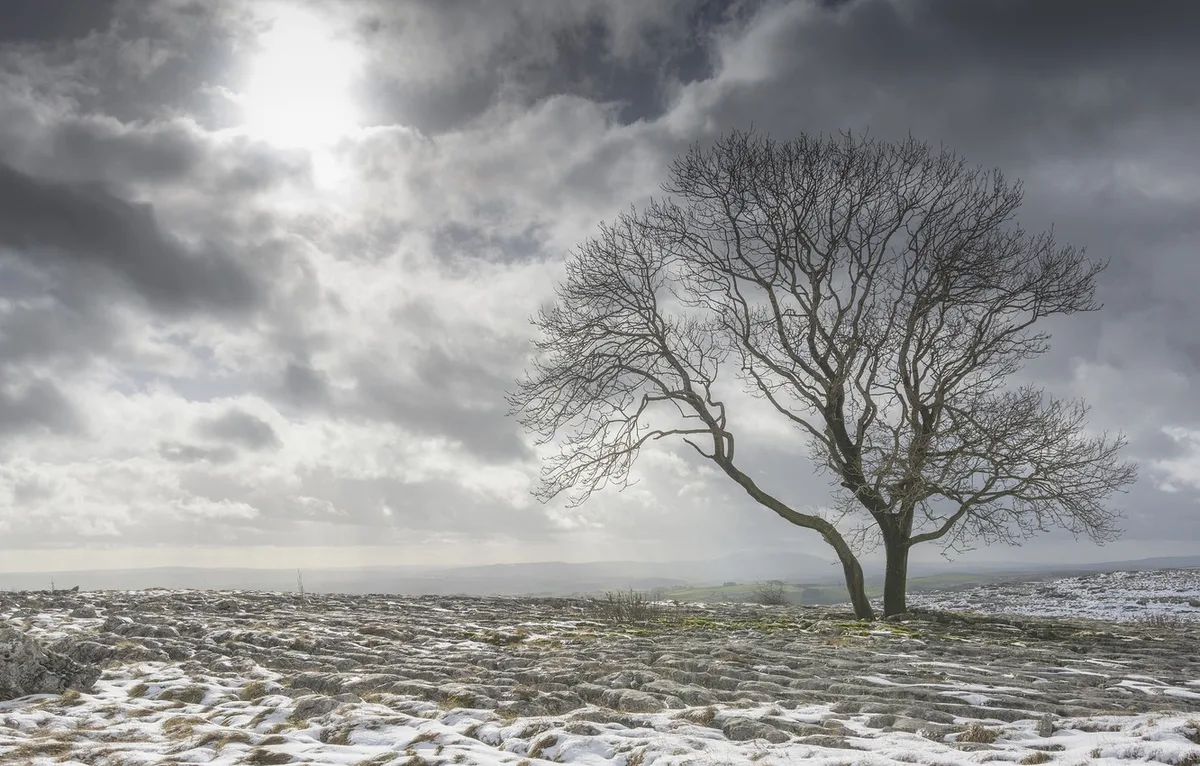
WASM - The polar wave affecting the Kingdom intensifies tomorrow, Tuesday, with snow showers falling above 1000 meters and sometimes below that, affecting parts of the capital Amman and the highlands of Salt, Amman, Karak, Tafila, and Shobak. Scattered rain showers also fall below these elevations amid a sharp drop in temperatures to around zero degrees Celsius and below in the mountain peaks.
In detail, the flow of very cold polar winds toward the Kingdom intensifies tonight and tomorrow Tuesday, and a weak low-pressure system forms south of Lebanon causing increasing clouds at different altitudes and scattered rain and hail showers in the form of snow showers above 1000 meters above sea level and sometimes below that. Limited and restricted accumulations are expected on the mountain peaks, and the weather conditions are not expected to significantly affect general life patterns.
Temperatures drop sharply on the night of Tuesday/Wednesday to slightly below zero degrees Celsius on the mountains of the capital, Salt, and Ajloun, and around -3 to -4 degrees Celsius on the peaks of Shobak and Tafila amid the formation of frost and ice.
Caution should be taken from slipping on roads during snow showers in the morning and afternoon hours, and from freezing during the night and morning of Wednesday on the mountain peaks. It should be noted that the snow condition is limited and weak and is not expected to significantly affect general life patterns.
A yellow alert level is issued for the weather conditions, and reaches orange on the mountain peaks due to scattered snow precipitations and the occurrence of freezing. It is also advised to be cautious of frost in many areas tonight and on the night of Tuesday/Wednesday.
Jordan | Arctic Cold Wave Intensifies Tomorrow Tuesday with Snow Showers Above 1000 Meters