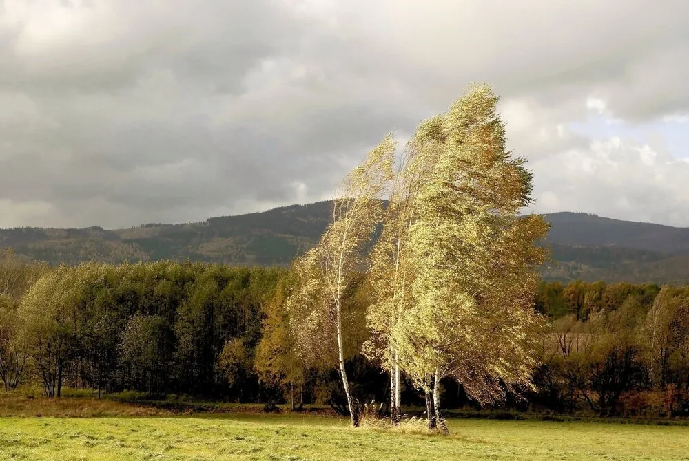
WAAS – Semi-autumnal conditions continue with temperatures below seasonal averages during the new week, with the appearance of cloud amounts at different altitudes. Another temperature drop is expected at the end of the new week, with forecasted wind activity during some periods and the occurrence of strong gusts.
- Imperceptible temperature rise on Monday and Tuesday..
Temperatures rise slightly and imperceptibly on Monday and Tuesday, as semi-autumnal conditions continue, with temperatures remaining around the mid-twenties Celsius during the day in the capital and mountains, and approaching 15 Celsius at night.
- Twenty-degree temperatures in the mountains and plains with active winds..
Temperatures are recorded at autumnal levels, remaining around the mid-twenties Celsius in the capital and mountains during the day, and approaching 15 Celsius at night, with northwesterly to westerly winds becoming active during many periods, with strong gusts occurring occasionally.
- Another and clear temperature drop starting from Wednesday..
Temperatures drop clearly and further from Tuesday night and Wednesday, with autumnal and moderately warm conditions prevailing in general, especially in the mountains and plains, and somewhat cold during night and morning hours. Weather conditions tend to be moderate in the Dead Sea, Aqaba, and the Jordan Valley, especially during night and morning hours.
- Monitoring high probability of a strong storm forming in the Mediterranean Sea region.
It appears that the WAAS Regional Climate Center's climate model data has once again achieved exceptionally accurate results and in a manner rarely observed for global climate models. Indeed, numerical results are now clearly indicating a strong storm that will strike the central Mediterranean region during the end of next week and before mid-month. This strong storm, as a result of the unusual path of the polar jet stream, will rapidly head toward the eastern Mediterranean region.
The results of this strong storm and the probability of its tracks will be clarified through several reports. WAAS Regional Center advises following reliable and official sources, noting that the Kingdom and the Middle East region are experiencing acute climatic changes, the most prominent and important of which are large and unprecedented rainfall rates in recent climate records, contrary to what was being circulated due to misunderstanding of climatic changes in the region.
Heavy rainfall extended into the heart of the Sahara Desert this summer in a manner unprecedented in recent climate records, as a result of several changes that occurred in atmospheric circulation. These changes were not limited only to the thrust of eastern tropical waves, but also to a continuous weakening of the subtropical jet stream over the Mediterranean Sea and eastern Atlantic regions, for numerous reasons, some of which remain unknown. This simultaneously resulted in intense heat waves toward the European continent, continuing even with the start of the meteorological autumn.
This highly unusual atmospheric circulation is expected to intensify during the upcoming rainy season, which may cause very large rainfall amounts in many regions of the Middle East, Mediterranean Sea, and Arabian Peninsula in a manner unprecedented in recent climate records.
Jordan | Autumn-like conditions continue.. with another temperature drop expected at the end of the new week