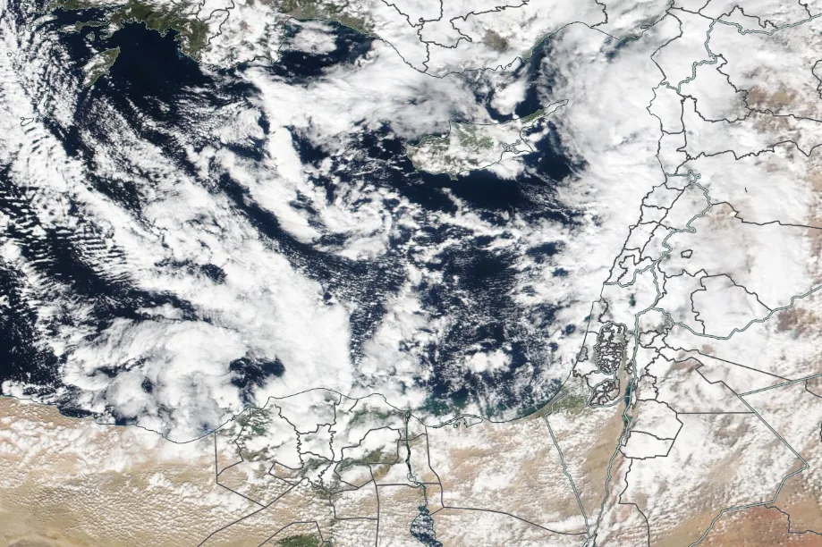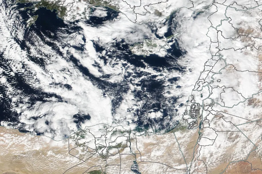
WASM- The Kingdom will be affected by the remnants of a cold air mass tomorrow, Sunday, with weather remaining cold and partly cloudy, with light rainfall expected especially in mountainous areas and northern regions of the Kingdom. Dense fog will also form in many areas during morning and night hours.
Weather will stabilize completely on Monday with continued cloud cover at various altitudes and generally cold conditions remaining. Starting Tuesday night and in the late hours, a new atmospheric low pressure system will approach the Kingdom accompanied by a severely cold air mass, causing renewed heavy rainfall that will continue until the beginning of next week.
WASM Regional Center is monitoring the possibility of its development into a winter storm accompanied by heavy rainfall and extremely cold conditions with the possibility of snow falling on high mountains.
Good quantities of rainfall have fallen over recent days, reaching 25-30 mm limits near the capital and Salt, and these rains are expected to continue until Saturday evening.
The Kingdom has been affected by successive storms and atmospheric low pressure systems since the second half of November, as these storms and lows have caused the rainfall season to exceed "completely" in many areas, especially central regions. Despite rumors at the beginning of the rainfall season about a very dry and harsh season, this did not occur. Jordan has been affected since 2014 by significantly increased rainfall rates compared to previous years, which have been increasing over the last 4 years due to climate change and rising global temperatures, which typically reflect increased rainfall rates rather than decreased ones. WASM Regional Center always recommends following correct and accurate scientific sources for weather forecasts.