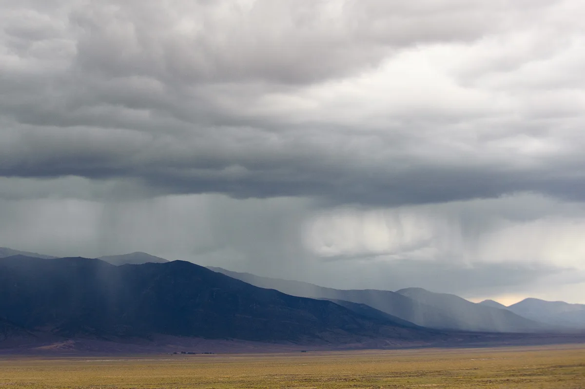
WASM – Rainy clouds will gradually increase during the midnight hours of Friday/Saturday, with scattered and thunderstorm showers occurring and intensifying during the dawn and morning hours of Saturday, becoming heavy in some areas for short periods. Thunderstorms are expected to resume in the afternoon and evening of Saturday. WASM will issue a yellow alert level for the expected weather conditions over northern, central, and eastern Jordan during the next 24 hours.
Winds will be easterly to southeasterly at the beginning of the day, gradually shifting to westerly during midday. Weather is expected to gradually stabilize during the evening hours and the night of Saturday/Sunday with dense fog formation in wide areas, particularly in the Queen Alia International Airport region.
Rain is expected to reach southern parts of the Kingdom, though weakly, particularly the highlands of Karak, as rainfall is expected to concentrate in the northern, central, and eastern parts of Jordan.
These weather conditions result from the formation of a low-pressure system south of Cyprus, which will gradually advance towards the coasts of northern Palestine, accompanied by a cold air mass from the west and north, coinciding with an extension of the Red Sea low-pressure system from the Arabian Peninsula region.
WASM is monitoring prolonged rainy and cold weather conditions that will begin after December 10-12, with these weather conditions expected to continue during the Murabbaniya period.
To know the temperatures in your cities, please visit the following link.. www.wasmweather.com
Jordan.. Cold and rainy weather tomorrow Saturday