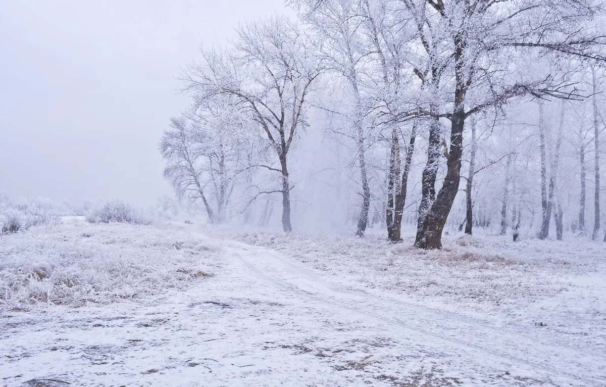
WASM – A winter storm is expected to affect the Kingdom starting Monday evening and Monday/Tuesday night, intensifying on Wednesday and Thursday with a notable drop in temperatures, especially with the surge of polar-origin winds toward the Kingdom. It will recur later during the end of next week and the beginning of the following week, reaching its peak in terms of cold and precipitation.
Monday..
Thunderstorms with showers will fall in various regions of the Kingdom during the day, with the possibility of heavy precipitation in some areas. Precipitation will remain irregular, coinciding with a gradual increase in wind speeds to exceed gusts of 50-60 km/h during the day and evening. Starting from the evening and during late night hours, the winter storm will gradually begin to affect the region in the form of regular heavy rain in the north and center with strong wind gusts.
Tuesday..
Stormy and rainy conditions with heavy precipitation in various regions of the Kingdom, especially in the north and center of the country and the southwestern highlands. Wind gusts are expected to exceed 70-80 km/h at times amid very cold conditions, and snow showers will fall occasionally on the peaks of high southern mountains.
Wednesday and Thursday..
The winter storm will intensify, with large amounts of rain falling, and snow will fall in high mountainous areas on the Wednesday/Thursday night, especially in areas above 1,100 meters above sea level, specifically in the highlands of the northern and southern regions of the country, extending occasionally to the high peaks of the capital, Amman, at intervals.
Wind gust speeds will reach more than 90-100 km/h amid low temperatures close to zero Celsius in high mountainous areas.
Thursday night through Friday night..|
Precipitation and wind speeds will decline, with frost occurring in several areas, and freezing is expected in high mountains, especially those expected to witness snowfall, with temperatures registering around zero Celsius in high mountainous areas.
The winter storm is expected to recur later during the end of next week and the beginning of the following week, reaching its peak in terms of cold and precipitation with increased chances of snowfall in many mountainous areas. WASM will issue details successively regarding the timing of the peak of the winter storm, which coincides with expected snowfall in mountainous highlands.
Tips and Precautions..|
WASM advises following the latest updates and continuously adhering to warnings from the Jordanian Meteorology Department and guidance from the Civil Defense and Public Security, staying away from low-lying areas and valleys, and being cautious of landslides during snowfall in high mountains. It is also advised to be cautious of strong winds from Tuesday through Thursday. WASM is issuing a red alert level from Monday night through Thursday night due to the severity of weather conditions.
Jordan | Details of the Winter Storm Expected to Begin Monday Evening and Continue for Several Days