
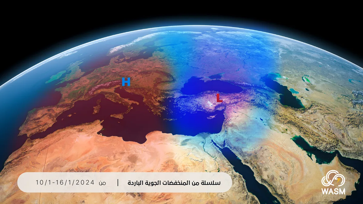
WASM – Jordan will be affected by a series of cold atmospheric depressions that begin Wednesday evening and may become very cold later from mid-month onwards, accompanied by large quantities of heavy precipitation, strong winds, and low temperatures close to zero degrees Celsius on the peaks of high mountains.
The current rainy season is recording excellent performance and exceeding averages in many areas, and with the expected series of atmospheric depressions, this will increase the strength of the current rainy season's performance, especially in the north, center, and east of the Kingdom.
- The short warm wave ends on Wednesday..
The short warm wave gradually ends on Wednesday and temperatures drop as a result of the expected start of the atmospheric depression's impact in the evening and night in the north and center of the Kingdom and the beginning of rainfall and hail, and winter warm waves are routine and occur in most rainy seasons and are a natural phenomenon resulting from atmospheric circulation, and there is no truth to any information linking this event to a decrease in rainfall rates or temperature increase, as Jordan is actually affected by high rainfall rates in recent years.
- Atmospheric depression Wednesday through Friday..
The Kingdom will be affected by a cold atmospheric depression accompanied by polar winds advancing toward the eastern Mediterranean, which is expected to cause heavy rainfall in the north, center, and east of the Kingdom and these rains extend in the form of heavy precipitation in the southwestern mountains, which are sometimes mixed with snow showers and hail on their high peaks on Thursday and Friday.
- A deeper atmospheric depression mid-month..
An extremely cold polar mass will advance toward Turkey and the eastern Mediterranean region before mid-month, which is expected to cause the formation of another atmospheric depression that is deeper, stronger, and colder, and more details will be issued as the time period approaches and the nature of weather conditions becomes clear.
- Renewal of atmospheric depressions after mid-month..
Atmospheric depressions will renew again after mid-month, as a result of unusual atmospheric circulation resulting from a sharp and rare oscillation in the Arctic region that has been recurring since the beginning of the rainy season, and the causes of this sharp oscillation are still not fully understood, but they are usually due to scientific reasons related to extreme temperatures that occurred in the northern Pacific Ocean and also its tropical region.
This unusual circulation has caused powerful polar storms toward northeastern Europe and the southern and western United States, and usually this circulation coincides positively with the intensification of atmospheric depressions in the eastern Mediterranean basin.
The WASM Regional Center is monitoring these weather conditions and their impact on the weather of Jordan, Palestine, Gaza Strip, and the eastern Mediterranean, and it should be noted that most polar air masses affecting Jordan cause very large amounts of rainfall, and in rare cases result in snowfall or the occurrence of snowstorms
.