
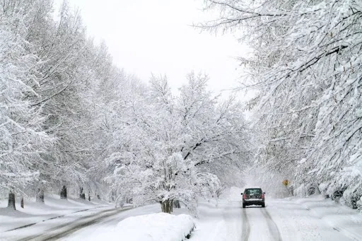
WASM - It is expected that the Kingdom and the Eastern Mediterranean basin will be affected by a new and strong polar wave that will last for extended periods, leading to very low temperatures below zero degrees Celsius in mountains and plains, large quantities of rain and snow in the mountains, and coinciding with strong winds.
This polar wave is expected to begin on Thursday and continue for "an extended period" with multiple successive peaks, and is classified as a "strong polar wave". As a result of its coincidence with severe weather conditions, it is expected to significantly affect infrastructure and will increase pressure on the electricity sector during its period of impact.
As a result of large quantities of rain falling in recent days and forecasts of very large quantities during the polar wave, it is expected that this will greatly increase the chances of floods, valley flooding, dam overflow, and major pressure on infrastructure.
Weather disturbances from Saturday until Monday|
The Kingdom is expected to be affected by weather disturbances from Saturday until Monday resulting in renewed thunderstorms mixed with snow showers on the peaks of high mountains in the eastern Kingdom at scattered intervals.
It is recommended to be cautious of rain during the coming period, as the large recent quantities have worked to saturate the soil with water, which leads to the easy formation of floods and flash floods or the occurrence of rock slides on mountain slopes. Therefore, it is always recommended to follow the guidance of civil defense and public security.
The "strong" polar wave begins Thursday|
The strong polar wave begins on Thursday and continues for "an extended period" and intensifies during the last week of the month, and it is expected to result in large quantities of rain and snow falling on mountainous areas.
This polar wave is expected to advance from the Arctic region and across Siberian lands then Turkey, reaching the Eastern Mediterranean, and the WAGSM regional center is monitoring a high probability of the intensification of this polar wave during its impact and details will be issued progressively.
No indicators appear for any stable period expected even after the polar wave's impact, as there is a possibility of continued succession and continuity of weather systems toward the region, and there is a high probability that many areas will complete their seasonal rainfall in full and early due to its coincidence with very large quantities of rain and snow falling on mountains.
Intensification of the climate phenomenon "Seasonal Shifting"|
This phenomenon is called "Seasonal Shifting" or Seasonal Shifting, and it is due to climate changes affecting the region, which have caused this phenomenon to intensify in recent years. It has been found that more than 75% of the total rain in recent years has been delayed to the second half of the rainy season compared to 46% before climate changes.
This phenomenon has also caused an increase in rainfall rates and a rise in the rate of extreme winter or snow storms, and an increased chance of very large quantities of rain falling in shorter time periods. This phenomenon was very evident in the 2022-2023 season, when more than 90% of the rainy season fell in some areas during the second half of that season and rain continued until mid-June, recording a seasonal increase of around 40-70% in most areas.
Jordan has not suffered any shortage in rainfall quantities in recent years, but rather changes in the nature of rainy seasons and their intensification and an increase in rainfall rates of more than 60%.
```