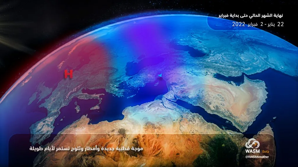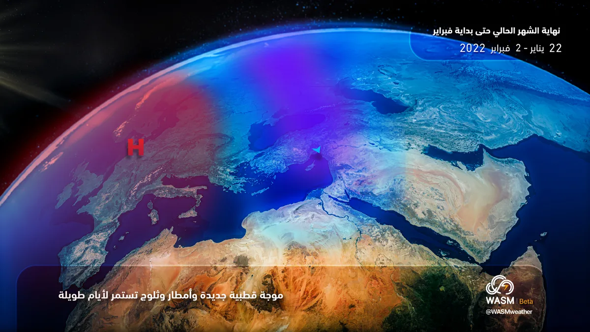
WASM- The Kingdom is being affected by a new polar wave accompanied by rain and snow on mountainous areas starting from Sunday and continuing for many days, impacting wide areas of the Kingdom.
In detail, weather will be stable on Friday and Saturday, but it will remain bitterly cold with continued freezing in mountainous areas and frost formation. Starting from Sunday evening, the Kingdom will be affected by the new polar wave with heavy rains and heavy snow expected in high mountains.
The polar wave will continue accompanied by successive atmospheric depressions, with rain and snow continuing in many areas for many days. This polar wave is expected to reach its peak strength mid and end of next week, with intensified impact and increased rain and snow on mountainous areas.
WASM Regional Center continues to monitor the new polar wave, expected rain and snow during the coming period which is expected to continue for at least two weeks according to data issued from the developed climate model and W.DMM technology that were developed by WASM Regional Center.
The scientific reason for strong polar waves and successive atmospheric depressions is the presence of a strong and massive atmospheric high that extends from the center of the Atlantic Ocean to the center of the European continent, which causes polar air to concentrate over eastern Europe, then Turkey and the eastern Mediterranean, where strong "polar vortices" control the eastern United States to the western Atlantic and another north and east of the European continent. This causes polar air to continuously surge toward the eastern Mediterranean and Jordan. The rainy season has achieved 75% of its rainfall in the central areas of the Kingdom so far.