
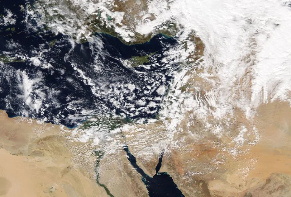
WASM – Heavy rain continues intermittently, but in the north and center of the Kingdom it will be mixed with snow and hail after midnight, and will be in the form of snow showers after midnight on the high mountain peaks that exceed 1100-1200 meters above sea level.
The weather will remain extremely cold with wind speeds gradually decreasing, and the weather condition will ease tomorrow, Saturday, with cloudy and foggy weather remaining in the high mountains and rain showers and drizzle falling during the morning hours until midday, then the weather will gradually stabilize with temperatures remaining low, and rain showers will resume in the far north of the Kingdom during the early morning hours of Sunday.
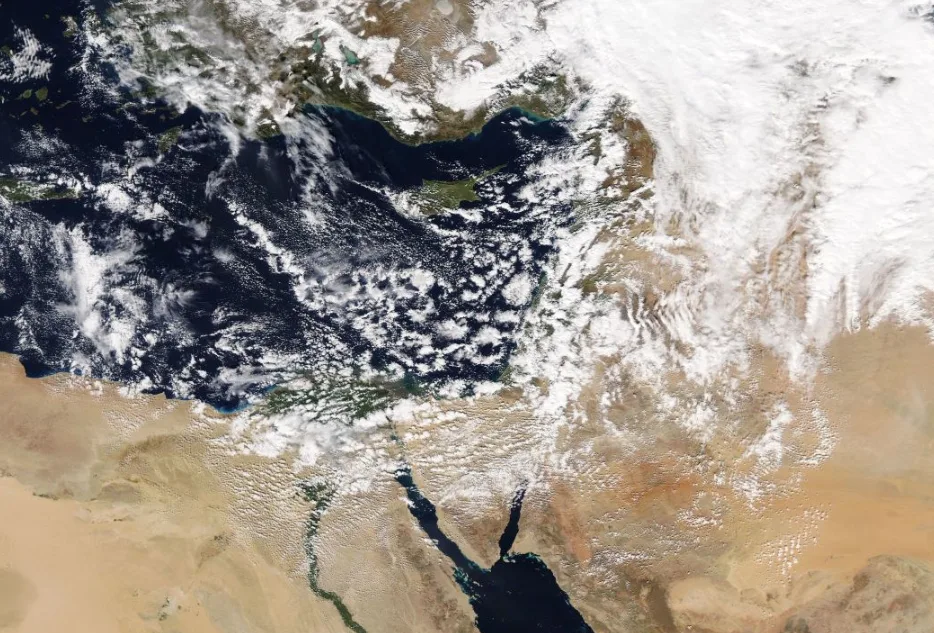
Jordan was affected today, Friday, by a deep atmospheric depression accompanied by cold polar-origin winds that caused heavy rainfall and flash floods. Snow showers fell over high mountains exceeding 1000 meters above sea level, accumulating slightly and limitedly on high peaks, especially in the southern and northern regions, coinciding with extremely cold weather and strong winds.
WASM expects heavy rain to return at the end of next week across various regions of the Kingdom, with a renewal of polar air surge activity over the Kingdom after February 10 and more intensely in mid-February.
The alert level is expected to drop tomorrow, Saturday, to yellow as a result of the weather condition receding and weather stabilization, and temperatures will rise next week.
To know the temperatures in your cities, please visit the following link.. www.wasmweather.com