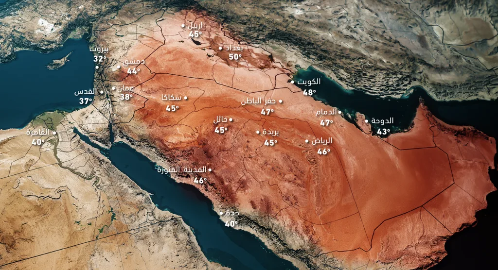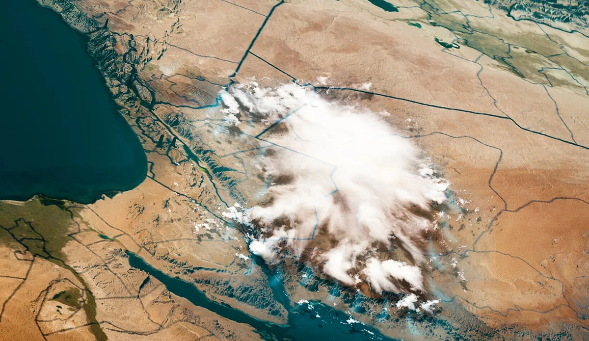
WASM – The Kingdom is being affected by a high-humidity tropical wave coinciding with high temperatures and atmospheric instability leading to exhausting, hot and humid conditions with dense clouds interspersed with thunderstorms from time to time and dense dust waves.
High humidity and exhausting wave|
The rise in temperatures coincides with a significant increase in atmospheric humidity, due to the source of the hot air mass surging from tropical and subtropical regions toward the Kingdom, and therefore dense clouds are expected to be present from time to time in various regions, coinciding with a significant rise in surface humidity exceeding the 60-70% barrier in parts of the western regions of the Kingdom especially during evening periods.
This high humidity will greatly increase the feeling of temperatures higher than recorded, for example the mountain highlands will record temperatures around 34-37 degrees Celsius but this coincides with high humidity leading to the feeling of temperatures higher than recorded.
Atmospheric instability condition|
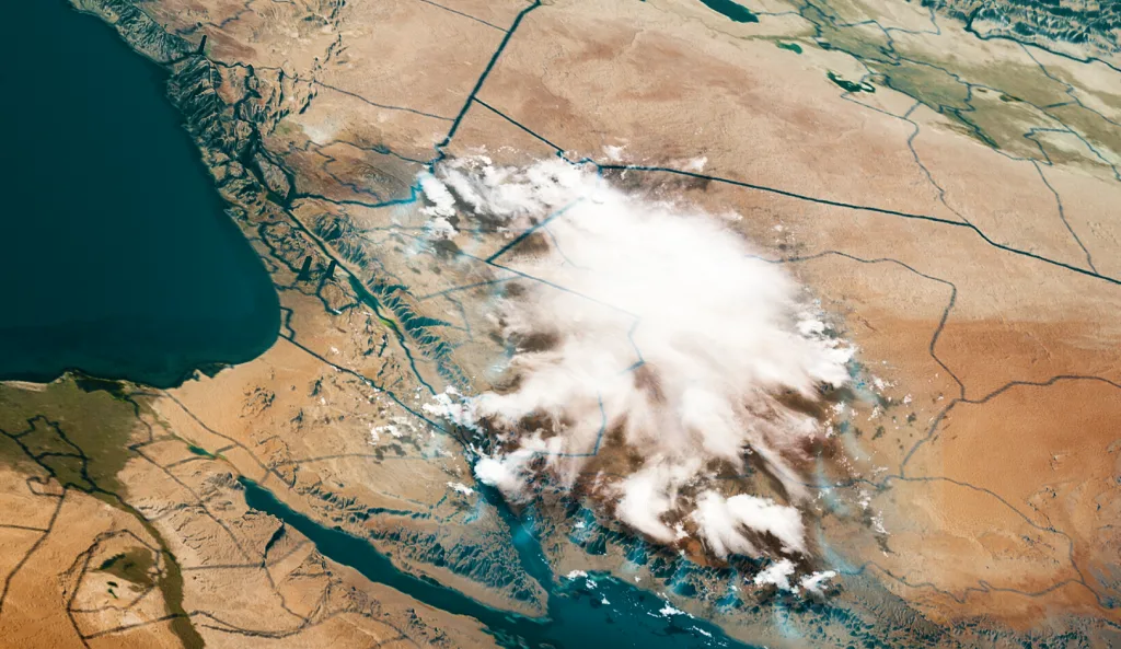
The Kingdom is being affected coinciding with the surge of the high-humidity tropical wave by a condition of atmospheric instability leading to the concentration of thunderstorms in various sectors of the Kingdom starting from Saturday until Tuesday, these thunderstorms lead to scattered rainfall not ruling out its intensity in limited sectors of the Kingdom.
As a result of these thunderstorms and the rise in surface temperatures, dense dust waves are expected occasionally and in various regions leading to a significant decrease in horizontal visibility.
Very humid, cloudy and dusty nights|
Despite recording acceptable minimum temperatures reaching around 25 degrees Celsius, the very high humidity especially during the early hours of the night will lead to an uncomfortable feeling of the weather, coinciding sometimes with the presence of dust, and these are atmospheric conditions similar to what happens in semi-tropical or tropical regions completely.
The high-humidity tropical wave begins to recede next Thursday|
The high-humidity tropical wave recedes starting next Thursday gradually and temperatures drop to become below seasonal averages during the end of next week again.
WASM Regional Center classifies it as a "tropical wave"|
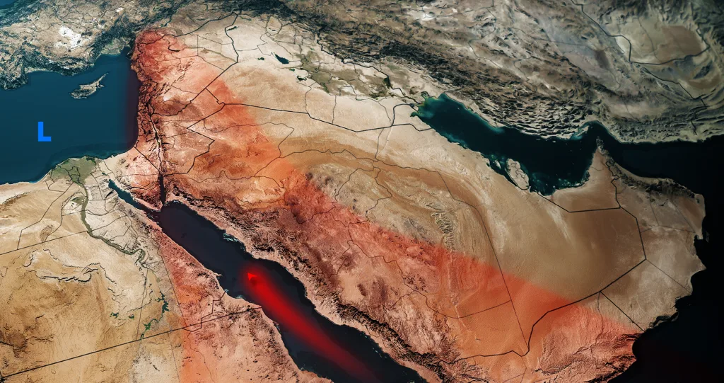
The expected weather condition is not a conventional heat wave, but rather a high-humidity tropical wave as a result of its impact coinciding with an increase in humidity ratio especially in the surface layers of the atmosphere as well as the middle and upper layers of the atmosphere.
The movement away of the center of the atmospheric high extending in the upper layers of the atmosphere over Iraq, contributed to the presence of cold currents in the upper and middle layers of the atmosphere over the eastern Mediterranean, Jordan and northwestern Saudi Arabia during the coming days and this coincided with the extension of a high-humidity tropical wave toward the region leading to atmospheric instability.
Despite the rarity of these atmospheric conditions in summer, they occurred during the summer of 2015 when a hot period coincided with atmospheric instability and high humidity and dense dust waves toward various regions.