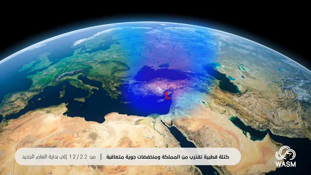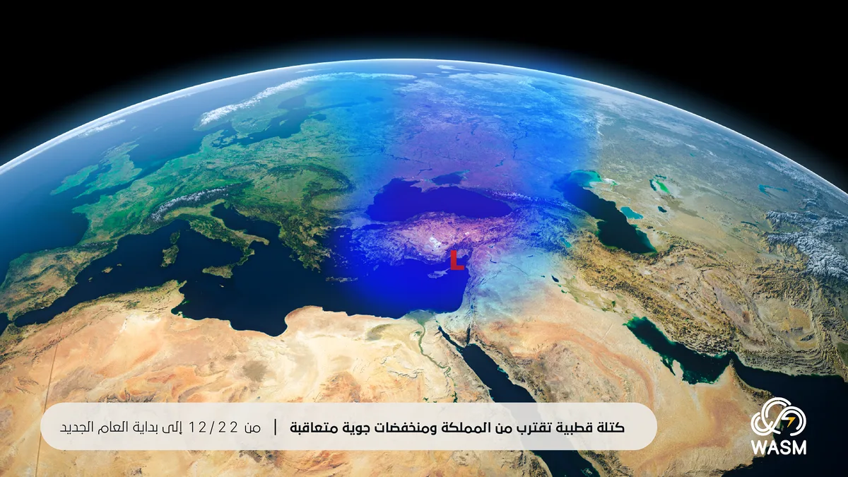
WASM – An extremely cold polar air mass is positioned over Turkish territories, resulting in the formation of a low-pressure system east of Cyprus island, which causes a return of heavy rainfall to the kingdom's atmosphere from Friday night through Monday morning, coinciding with strong winds and extremely cold conditions in the high mountains.
The heavy precipitation is expected to be concentrated over the northern and central parts of the kingdom from Friday night through Monday morning, extending with moderate intensity towards the mountains of the southwestern kingdom during Sunday evening through Monday morning as the low-pressure system settles over northern Syria.
An extremely cold polar air mass approaching the kingdom..
An extremely cold polar air mass is positioned over Turkey and the northeastern Mediterranean starting from the weekend, which is expected to cause the formation of several successive low-pressure systems over the kingdom, with the first beginning Friday night through Monday morning, followed by another low-pressure system forming during the following weekend, preceded by heavy thunderstorm rainfall in some areas on Wednesday and Thursday.
WASM Regional Center continues to monitor the polar air mass and its movement in the Turkey and eastern Europe region, which is expected to surge towards the eastern basin of the Mediterranean later, due to the continued dominance of a high-pressure system over North Africa and the European continent. Due to the highly complex nature of the polar air mass movement and the overlapping of many factors, most notably the strong and rapid oscillation in the Arctic region, North Atlantic, and northern United States, the arrival of this polar air mass is only temporary in nature due to the cyclical nature of the atmosphere during this period, based on data received by WASM Regional Center.
Large quantities of rainfall in some areas from Friday night through Monday morning..
Large amounts of rainfall are expected in some areas, particularly in the northern kingdom and northern-central regions, almost continuously, due to the prolonged positioning of the low-pressure system over the Cyprus basin and the surge of high-humidity westerly to southwesterly winds towards the northern and central kingdom. This causes weak penetration of rain clouds towards a wide range of the southwestern kingdom at the beginning of the low-pressure system's impact, but the chances are expected to improve during Sunday evening through Monday morning.
The peak of the low-pressure system is expected from Saturday evening through Sunday/Monday night, particularly in the central and northern kingdom, with rainfall extending periodically towards the southwestern kingdom.
WASM Regional Center continues to monitor all updates regarding the expected weather conditions during the upcoming period and the nature of the polar air mass movement over Turkey and eastern Europe towards the end of the year and the beginning of the new year. All details will be issued successively. It is noted that WASM Regional Center continuously provides various weather bulletins through dedicated channels for business sectors and benefiting authorities.