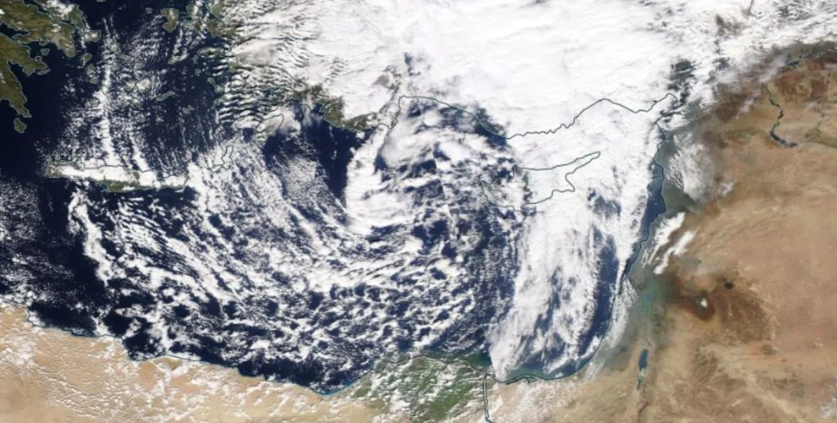
WASM- The Kingdom is affected by a polar wave starting Thursday gradually and intensifying at the end of the week with expectations of another stronger polar wave mid-next week resulting in "large" quantities of rain and precipitation with very cold weather.
In detail, the Kingdom will be affected tomorrow, Wednesday, by a warm air front and a rise in temperatures to make the atmosphere warm during the day with the high in Amman reaching 20 degrees Celsius, then it will drop significantly on Thursday as a result of the deepening of a cold air front causing wind activity and the beginning of heavy thunderstorms sometimes in the afternoon and continuing intermittently until Saturday evening.
Thunderstorms will cover most areas of the Kingdom on Thursday, including Aqaba, the Dead Sea and the Jordan Valley, then concentrate on the northern and central regions starting from Thursday/Friday night until Saturday evening, with peak heavy rainfall on Friday over the northern and central regions with large quantities of rain expected to fall.
Weather remains cold on Saturday, cloudy, rainy and foggy over the northern and central regions and part of southern Kingdom, then weather stabilizes on Sunday with temporary conditions before expecting a new and stronger polar wave starting mid-next week resulting in large quantities of precipitation, rain and snow and details will be issued progressively as the weather condition approaches.
WASM issues an orange alert level for weather conditions from Thursday afternoon until Saturday due to heavy rainfall, wind activity, cold weather and formation of floods, and WASM recommends following warnings from the Jordanian Meteorology Department, Civil Defense and Public Security.
Jordan | Low pressure system and heavy rainfall from Thursday through Saturday, with a polar wave mid-next week