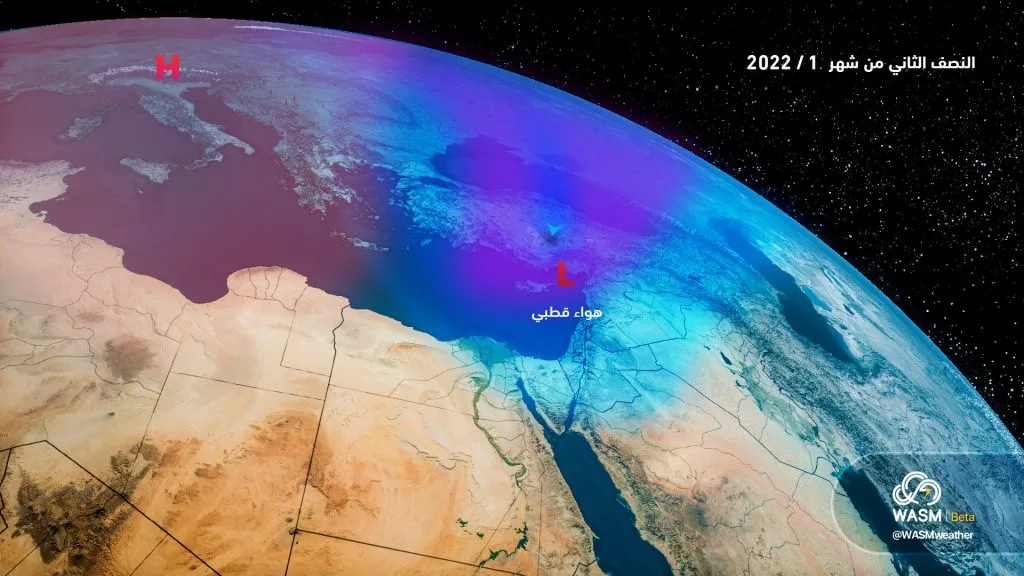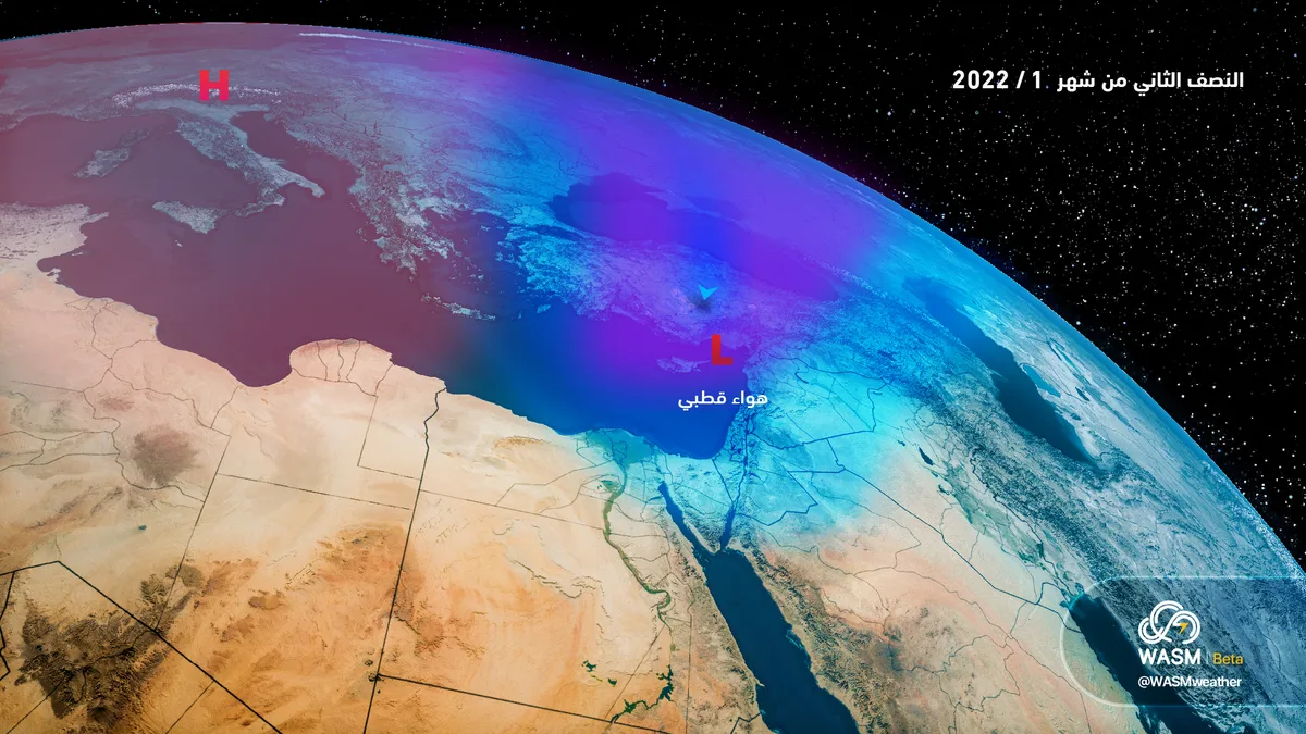
WASM- The Kingdom is expected to be affected by a new weather depression starting late Tuesday/Wednesday night bringing heavy rains and heavy snow on high mountainous areas exceeding 1000 meters above sea level, especially during Wednesday/Thursday night hours and until Thursday morning followed by a strong freezing wave.
In detail, heavy and widespread rainfall is expected to continue throughout today over most areas and will become heavy snow in the southern mountains and eastern desert regions of the Kingdom, with rainfall intensity decreasing in the north and center of the Kingdom in the afternoon and evening as scattered rain showers and light snow showers are expected over northern and central highlands.
Heavy snowfall is expected to continue until Monday morning on the southern mountains and eastern desert regions coinciding with a strong freezing wave affecting wide areas of the Kingdom tonight.
Weather will stabilize on Monday and Tuesday remaining extremely cold with freezing waves occurring during the night and early morning with frost occurring widely reaching the northern Jordan Valley.
Starting from Wednesday dawn, the Kingdom will be affected by a new weather depression accompanied by extremely cold polar winds leading to renewed heavy rainfall in wide areas in the form of snow in high mountains accumulating variably, rainfall is expected to continue and weather becomes colder on Wednesday evening with snow falling above 1000 meters in the highlands of northern, central and southern parts of the Kingdom and parts of the eastern desert accumulating noticeably in the northern and southern mountains and slightly in central areas, then a freezing wave occurs continuing Thursday and Friday, WASM issues a red alert level for weather conditions today and tomorrow Monday and will resume on Wednesday and Thursday due to floods, snow, freezing waves and frost.
WASM Regional Center is monitoring another new polar wave starting early next week continuing for more days accompanied by heavy rainfall and heavy snow on mountainous areas and extremely low temperatures.