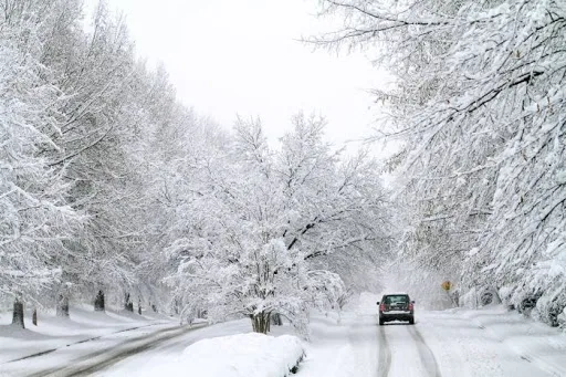
WASM - The severe polar cold wave continues to affect the Kingdom with temperatures remaining very low, reaching zero Celsius tomorrow Saturday night and Sunday morning, causing freezing and frost in wide areas, especially those that witnessed large snow accumulations.
Conditions will remain cold tomorrow Saturday and partially cloudy in general with light rainfall showers, temperatures will rise slightly on Sunday and the polar wave will retreat again before intensifying again Monday night and Tuesday in the form of strong cold easterly winds and active winds accompanied by dense clouds and heavy precipitation falling in various areas, mixed with snow.
In detail, a low-pressure system is positioned southeast of Jordan Monday evening and night, causing strong winds to rush from the east and northeast, but this coincides with the rush of humid winds in the middle and upper layers of the atmosphere causing dense cloud formation and heavy precipitation mixed with snow, and WASM will issue all details continuously.
WASM's Regional Center is also monitoring the continuation of the strong polar wave until the beginning of March, and expects renewed heavy rainfall and snow at the end of this month and the beginning of March.
Jordan was affected by the strongest snowstorm since 2013 causing "very massive" snow accumulations that reached and exceeded 1 meter in the highlands of Ajloun areas and about 40 cm on the peaks of the capital Amman, and half a meter in the highlands of Salt.
To find out temperatures in your cities, please visit the following link.. www.wasmweather.com
Jordan | Polar Wave Continues with Renewed Rain Mixed with Snow Showers Starting Monday/Tuesday Night