
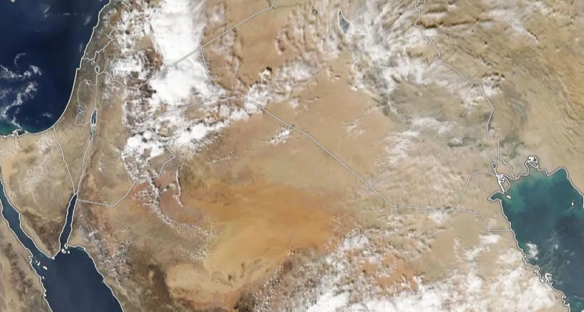
WASM- The country has been affected by a state of atmospheric instability for several days, concentrated in the eastern regions of the kingdom, which brought large amounts of rain, but had only limited effects on the western regions.
As a result of the change in the nature of the weather condition starting from Saturday evening and during Sunday and Monday from atmospheric instability to an extension of a low-pressure system positioned south of Cyprus, this will lead to the spread of rain towards the north and central parts of the kingdom, occasionally affecting the northeastern desert region. Rain is expected to be heavy in the northern areas and parts of the central country during some periods on Sunday and Monday.
Extension of a low-pressure system south of Cyprus affecting the country on Sunday and Monday|
The country is affected by an extension of a low-pressure system south of Cyprus, which causes the country to be affected by moist westerly winds starting from Saturday evening, therefore scattered and sometimes thunderstorm rain is expected, which is expected to be heavy in parts of the northern and central regions of the kingdom and during some periods.
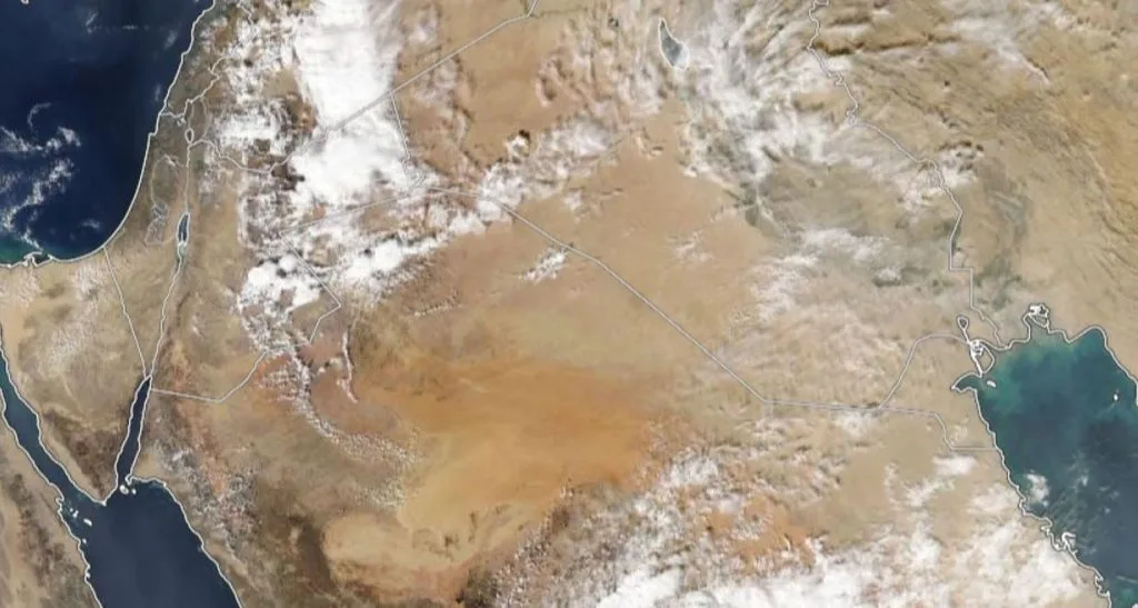
Temporary weather stability on Tuesday and renewed atmospheric instability from Wednesday until the end of the week|
Atmospheric instability conditions will resume starting from Wednesday for several days again in various regions of the kingdom, concentrated in the southern and southwestern areas of the country primarily and occasionally extending to other regions, and due to the continuity of atmospheric instability conditions, this means being cautious of the chances of sudden flash floods forming.
Atmospheric instability failed to affect the north, center, and west of the kingdom|
Atmospheric instability failed to affect the west of the kingdom despite its strong impact on most eastern regions and bringing large amounts of rain and flash flood formation, and this is due to the nature of atmospheric instability conditions that are not always characterized by comprehensiveness.
The low accuracy of weather forecasts in this type of condition is due to the absence of a network of weather monitoring stations, which is also linked ultimately to the regional local numerical models (specialized for these weather conditions), and to address this low accuracy regarding these weather conditions, a network of weather monitoring stations must be developed especially in the east and south of Jordan and the development of high-precision regional numerical models specialized for barotropic atmospheric instability conditions (Dry Regional Weather models), and given the strength of these weather conditions in the region, alerting to their severity is important because they come with sudden and severe weather conditions in random and irregular places, especially in light of the absence of this technology in the region.