WASM - The WASM Regional Center issues the seasonal bulletin for the autumn period through the beginning of winter starting from October through January based on the climate model developed at the WASM Regional Center, which is characterized by high accuracy. The climate model was updated on 26-9-2022 (26 September).
The coming season is expected to be cold and rainy with heavy precipitation especially in the north and center of the kingdom and parts of the far south and southeast of the kingdom, especially during the winter season (months 12 and 1), with expectations of rainy and cold periods sometimes during months 10 and 11 in scattered areas.
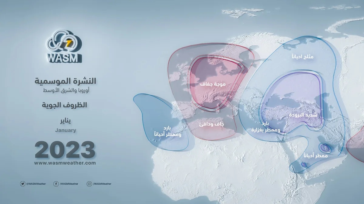
Frost waves are expected to begin early in the end of month 11, intensify during mid-month 12, and then become strong and severe during month 1, especially in the second half of the month with increased chances of snow.
.
Autumn, months 10 and 11..
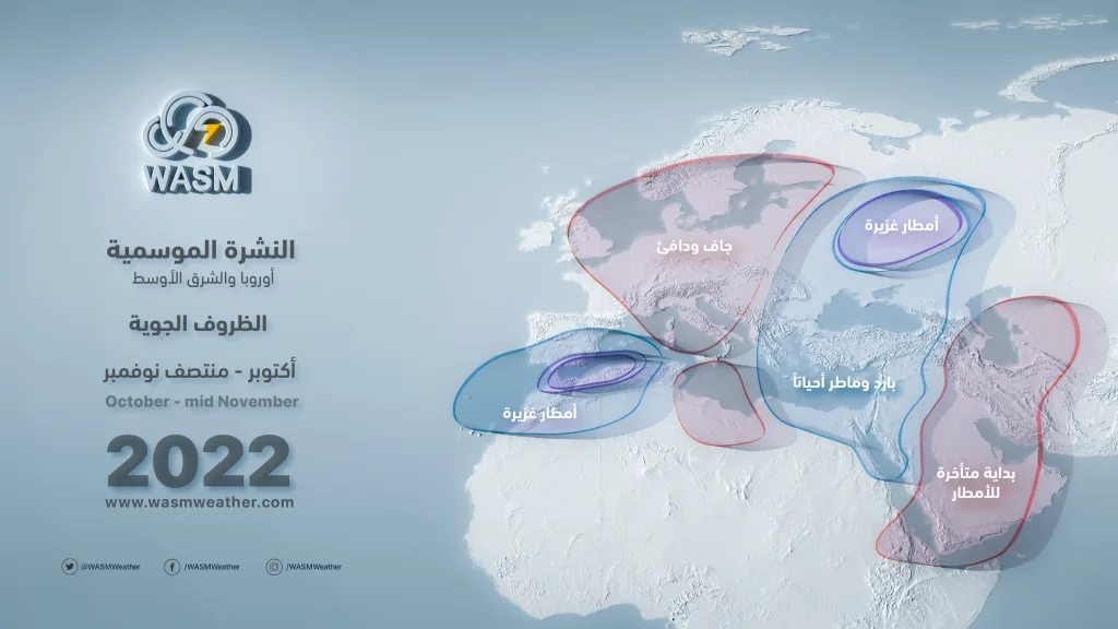
Rainfall is expected to be around its normal levels in both the north and center of the kingdom and the far southeastern regions, and slightly below normal in the southwest of the kingdom. Temperatures are expected to be around or slightly below normal in the north and center of the kingdom with an early cold wave expected at the end of month 11.
The rainy period is concentrated between the second half of month 10 until the first half of month 11, and increases in the last days of month 10 and the beginning of month 11. Rainy conditions decrease in the last two weeks of month 11 and are concentrated more toward desert and southern areas sometimes.
Winter, months 12 and 1..
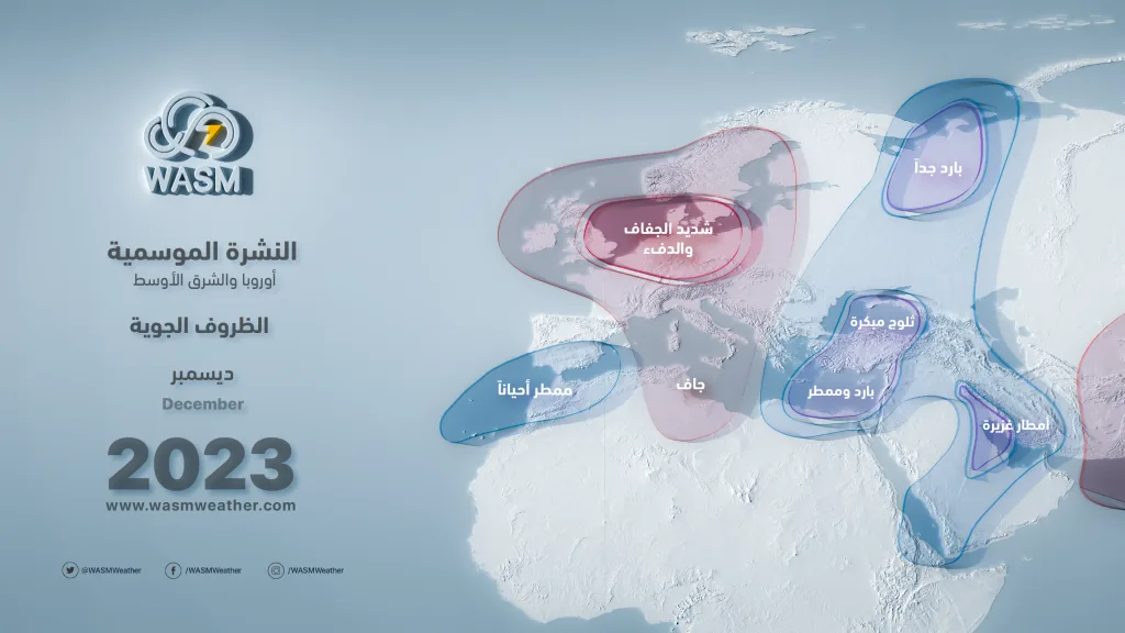
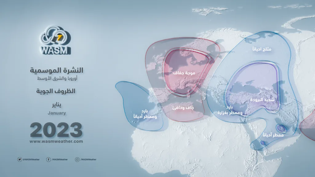
Cold to severely cold winter especially in month 1, and heavy and consecutive rainfall with no significant interruptions expected, with increased chances of frost waves during mid-month 12 then becoming severe during month 1, especially in the second half of the month.
Rain concentrates during month 12 in the north and center of the kingdom and the far south of the country sometimes, and precipitation extends to wide areas during month 1 including southern regions with severe cold weather.
Chances of snowfall increase in the second half of month 1 in many mountainous areas, with precipitation covering most areas of the kingdom including southern regions.
General Summary..
Rainfall rate .. Above normal levels.
Temperatures .. Around normal in autumn to below normal during winter.
Frost chance .. High in months 12 and 1.
Snow chance .. High in the second half of month 1.
General atmospheric condition (for specialists)..
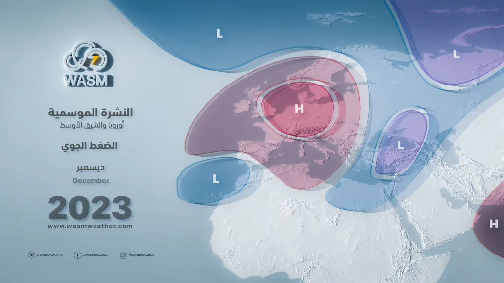
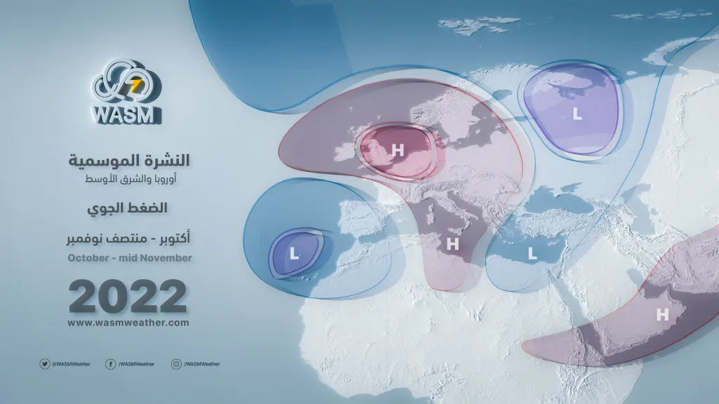
A strong warm atmospheric high is expected to dominate wide areas of central and western Europe especially during months 12 and 1, resulting in polar air settling over eastern Europe and wide parts of western Siberia. Due to the high pressure system, very cold and sometimes polar winds are expected to surge toward Turkey, the Black Sea, and then the eastern Mediterranean.
During autumn, polar air deflection toward the west toward the central Mediterranean will be observed sometimes, or intensification of the jet stream over Syria and southern Turkey may be noticed, which may bring scattered rainy situations but with cold temperatures. A Red Sea low extension during early autumn is expected to be dry and sometimes ineffective, or result in weak rainfall cases due to tropical circulation in the Indian Ocean region which enters within the negative cycle, where moisture accumulates far toward the eastern Indian Ocean.
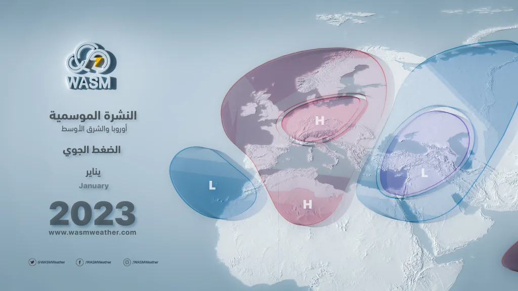
During winter, the European-Azores high will increase in strength with intensification of the polar cell in the north Atlantic, resulting in stronger Atlantic storms and stronger coherence of the European high especially in the western parts of Europe with elevated Atlantic ocean water temperatures compared with normal rates on the coasts of Morocco, Spain and Britain. This pushes the cold polar air located in eastern Europe to surge eastward and southward more compared with autumn, forcing the jet stream to move toward the southeast Mediterranean, which leads to cold polar air reaching the eastern Mediterranean in a consecutive and continuous manner.
As winter progresses, polar air will deepen more toward the eastern Mediterranean synchronized with increased activity of the Siberian front especially in the second half of month 1, bringing extremely cold and sometimes snowy conditions.
With the continuation of the La Niña phenomenon for the third consecutive year, this does not mean decreased rainfall and drought, but sometimes results in strong and very cold rainy seasons as happened in the previous season 2021-2022. Despite rumors at the beginning of the previous season about expectations of drought and weakness, the result was completely opposite in the north and center of the kingdom. The WASM Regional Center distinguished itself in its ability to forecast the previous cold and rainy season due to its development of a climate model that works using statistical methods.