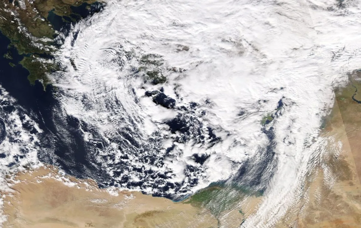
WASM - The Kingdom will be affected by a strong series of several long and extremely cold low-pressure systems starting Monday/Tuesday night and Tuesday, resulting in heavy rainfall over extended periods and many days. The WASM Regional Center is monitoring a high probability of a winter storm at the end of the week coinciding with very large quantities of heavy precipitation and extremely cold conditions. The WASM Regional Center expects a clear increase in the chance of snowfall on mountainous areas in the last days of the month and the beginning of month 2.
Warm conditions ahead of low-pressure systems|
Temperatures will rise on Sunday and throughout Monday, ahead of these strong and extremely cold low-pressure systems, reaching approximately 20 degrees Celsius in the capital and mountains, with light and limited rainfall not ruled out in some northern and central areas on Monday.
Heavy rainfall begins Monday/Tuesday night and continues for many days|
Heavy rainfall will begin late Monday/Tuesday night and continue for many days intermittently, affecting the north, center, and southwest of the country as well as parts of the eastern steppe. This rainfall is expected to be mixed with sleet and hail at the high peaks of the southwest region.
Monitoring a winter storm at the end of the week with very large quantities of precipitation|
A polar air mass originating from the north of the European continent and driven from the eastern United States, passing through the Atlantic Ocean in a rare occurrence, will directly affect the eastern Mediterranean basin, causing a winter storm in the region accompanied by very large quantities of precipitation. All updates will be issued successively.
Increasing chances of snowfall on mountainous areas at the end of the month and beginning of month 2|
The WASM Regional Center is monitoring the continued flow of very cold polar winds toward the region during the last days of month 1 and the beginning of month 2, which significantly increases the probability of snowfall on mountainous areas. All details will be issued successively.
The WASM Regional Center expects these forecasts will not change significantly with updates except for some details, due to the low coefficient of data uncertainty, as significant stability has been observed in meteorological data over the last 72 hours with no expected significant changes in the coming period. The Center will continue to issue updates regarding the expected strong series of low-pressure systems.
Jordan | Series of very cold low-pressure systems beginning Tuesday with monitoring of a winter storm at the end of the week