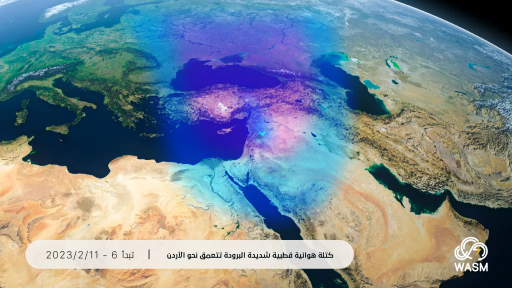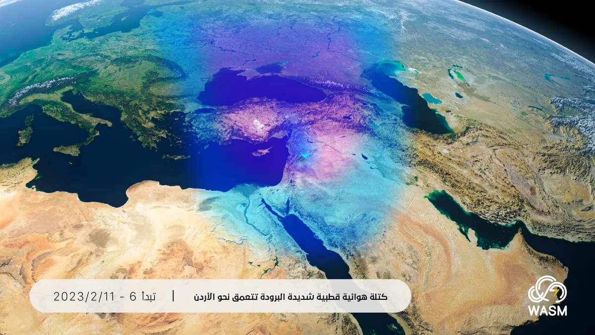
WASM- A polar air mass will deepen towards the Kingdom starting Monday coinciding with the intensification of the winter storm and the fall of very large amounts of precipitation, in the form of snow on mountainous areas, without affecting the general features of life in the capital.
In detail, the weather will be cloudy and cold tomorrow, Sunday, with showers of rain in the morning period coinciding with dense fog in the mountainous areas.
Winter storm intensifies Monday|
The winter storm will intensify on Monday, with stormy winds reaching gusts of more than 110 km/hour, and with the beginning of heavy to very heavy rainfall starting in the late morning hours and during the afternoon, in the north and center of the Kingdom extending to the southern regions during the evening and night.
Wet snow begins Monday/Tuesday night|
"Wet" and non-impactful snow will fall during the night hours on the high mountainous areas during Monday/Tuesday night, with no accumulation expected, with the continuation of heavy rainfall over wide areas, and slightly accumulated snow will fall on the mountains of the north and south, God willing.
Deepening of the polar air mass on Tuesday and non-impactful snow on the capital|
The extremely cold polar air mass will deepen on Tuesday/Wednesday night, leading to snow falling on the mountainous areas including the capital Amman but without significant accumulation occurring (non-impactful), however it will accumulate well on the northern and southern mountainous areas of the Kingdom, and slightly on the highlands of the western capital, especially Tla' Al-Ali, Khalda, and Sweileh.
The intensity of precipitation will decrease on Thursday and during the end of the week, with the continuation of snow falling on the mountainous areas, accumulating on the southern and northern mountains and slightly on the high peaks of Amman.
The polar air mass continues for long days and the continuation of snow precipitation..
The impact of the polar air mass of origin is expected to continue until mid-February, and this causes snow precipitation to recur on the mountainous areas from time to time (all details will be issued).
Why is snow accumulation not expected on the capital?
The scientific reason for this is due to the polar air mass not deepening into the upper layers of the atmosphere, with its deepening limited only to the middle and lower layers of the atmosphere. Although its deepening into the middle layers is considered sufficient in many cases for snow to fall, this is not considered sufficient for its accumulation, as the cloud density in particular decreases, which leads to rapid melting of snow during its fall, with its effect on surface temperature.
Snow accumulations are light on the capital peaks and medium density on the highlands of the north and south..
Snow accumulations are expected to be light on the capital peaks (Tla' Al-Ali, Khalda, Sweileh and their surroundings) but good on the highlands of Ajloun, Jerash, Shobak, Karak, and Tafilah.
WASM will issue all updates regarding the continuation of the winter storm and the changes that may occur in the coming days.
WASM recommends continuously following the warnings of the Jordanian Meteorology Department, which are considered official, and WASM issues a red alert level for weather conditions from Monday through the end of the week at least.