
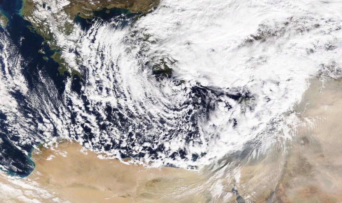
WASM – Jordan will be affected by successive weather depressions resulting in heavy precipitation and active to strong winds at times, as well as a significant drop in temperatures starting from Wednesday evening and continuing at intervals until the end of the month. WASM is monitoring the advance of polar-origin winds towards the eastern Mediterranean basin, including the Kingdom, during the coming week, and all details will be issued progressively.
Weather will remain stable and cold during Tuesday and Wednesday, warming slightly during midday hours. High and medium clouds will increase and winds will gradually intensify, especially on Wednesday, ahead of the weather depression's impact.
A deep cold front will affect the Kingdom Wednesday night, causing heavy thunderstorm showers at times across various regions. Rainfall will resume during Thursday daytime until early Friday morning, particularly in the north and central parts of the Kingdom, coinciding with cold weather and active winds.
Weather on Friday will be partly cloudy with scattered light rain showers during the morning and light rain during Friday daytime. Starting from Saturday afternoon and evening, Jordan will be affected by the leading edge of a weather depression with heavy rainfall resuming.
WASM is monitoring the advance of polar winds towards the Kingdom during the coming week, and all details will be issued continuously regarding possible changes in the nature of the polar wind advance and the extent of its impact on the Kingdom.
To know the temperatures in your cities, please visit the following link.. www.wasmweather.com