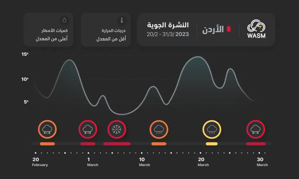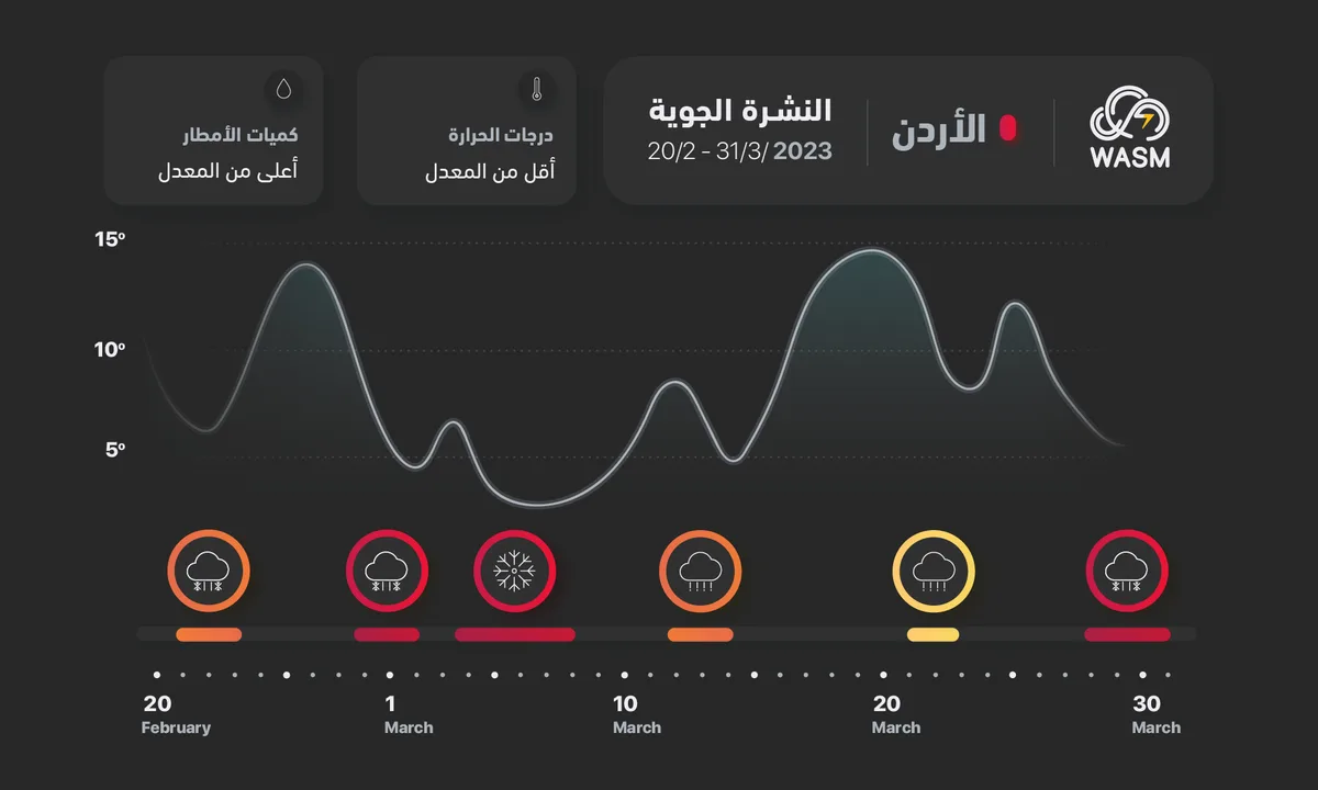
WASM- Temperatures will rise temporarily on Wednesday and Thursday, reaching around 23 degrees Celsius in the capital and mountains, followed by a sharp decline and weather fluctuations at the end of the week, then the approach of a polar wave in the period after March 5-6, and its details will be issued progressively.
Active winds on Monday and Tuesday and temporary temperature rise on Wednesday and Thursday..
Eastern winds will intensify on Monday and Tuesday, increasing the feeling of cold weather during morning and night periods, followed by a clear temperature rise on Wednesday and Thursday daytime, and these weather fluctuations are considered typical and not rare occurrences, happening in most rainy seasons at this time of year, and it is not recommended to plant any summer and spring crops in mountainous areas due to expected continuation and intensification of temperature fluctuations towards the end of next week.
Significant temperature drop at the end of the week..
Temperatures will drop sharply at the end of the week coinciding with active winds and rainfall showers in some areas, and the weather will become cold, and with the expected positioning of an extremely cold polar mass over eastern Europe that will gradually extend to Turkey and approach the Kingdom.
A polar wave "with prolonged impact" begins after March 5-6..
Results appear to match the outputs of the climate model at WASM Regional Center once again, which is distinguished by unique and unprecedented accuracy in the region, which predicted a polar wave at the same timing, and with the outputs of the W.DMM system which is based on more than 120 possibilities issued from various numerical models and their rate of change, which WASM also developed, a polar wave is expected to affect the Kingdom and the eastern Mediterranean region, Levant, and northern Saudi Arabia, resulting in rainfall in many areas, and details will be issued soon, this means there is another new round for the current rainy season which has still been present since the autumn season.
Special alert for farmers..
WASM advises especially farmers to be aware of rumors spreading about the end of the rainy season and expectations of a long warm wave, as WASM center predicted this wave two weeks ago through use of its climate model and described it as "expected and typical", continue with rain-fed agriculture, and do not plant summer-spring crops in mountainous areas except after the end of the late polar wave, these weather conditions are considered "typical and natural" and occur in most rainy seasons, March holds most folk sayings related to weather, due to the rate of winter storms it experiences and the strong sudden weather conditions that usually occur in it as a result of atmospheric circulation.
Due to intensification of warm air in subtropical latitudes and on the other hand intensification of polar masses in the European continent and the Arctic region, high activity occurs in atmospheric instability "baroclinic" which stimulates the sudden and rapid development of strong and deep low pressure systems or winter storms in the Mediterranean region and North Africa causing severe and sudden temperature fluctuations, strong winds and large amounts of rainfall.