
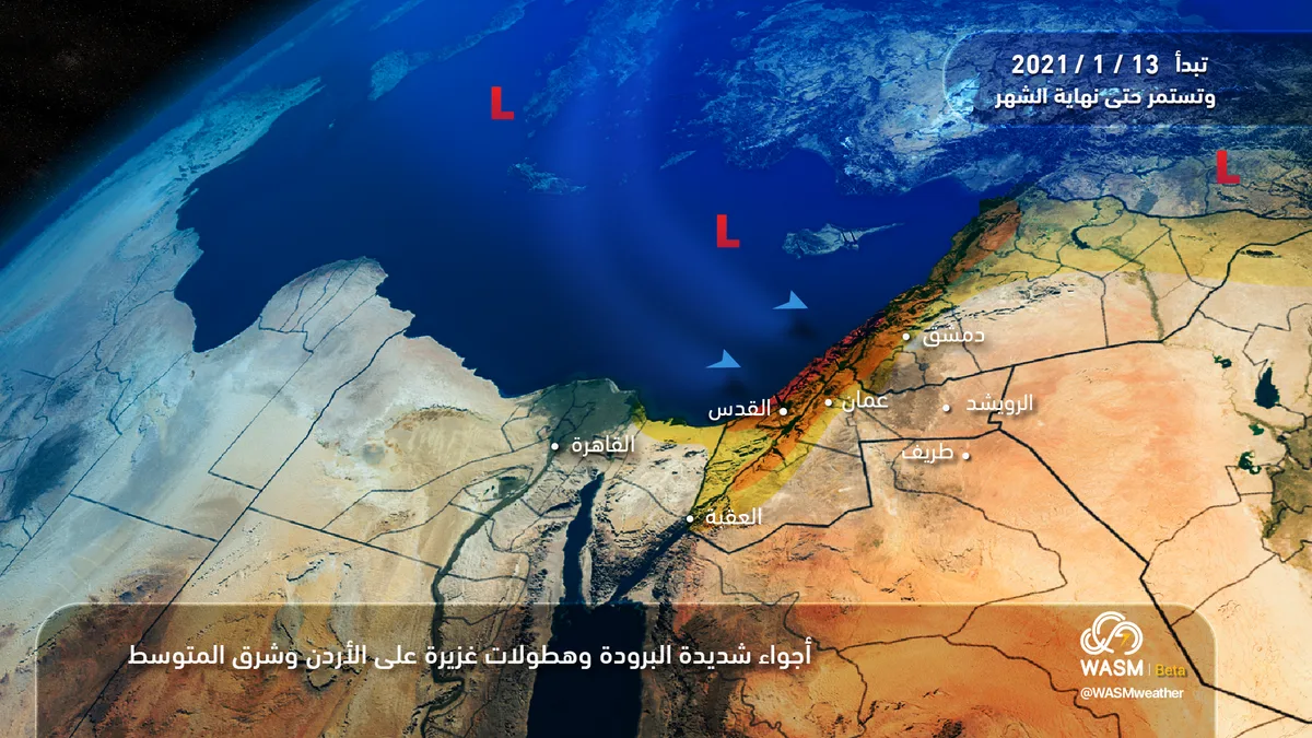
WASM – Jordan will be affected by a weather low pressure system starting tonight (Wednesday/Thursday night) across various regions, with temperatures dropping and heavy thunderstorm showers expected. Heavy rainfall is forecast to resume tomorrow, Thursday, especially in the afternoon and evening and during night hours, affecting the northern and central parts of the kingdom.
Scattered rain showers will continue Friday morning until before noon, then weather will gradually stabilize with generally cold conditions.
Rain showers will resume in northern parts of the kingdom and sometimes central areas Saturday night through Sunday morning, as Jordan is affected by a new highly active weather low pressure system during Sunday/Monday night hours and Monday accompanied by cold polar winds causing a significant temperature drop and heavy precipitation.
Severe cold polar winds are expected to deepen mid-next week with continued precipitation across various regions, and WASM will issue all details continuously.
The succession of weather low pressure systems affecting the kingdom will continue until the beginning of February, which is expected to be characterized by severe cold and heavy precipitation after the kingdom was affected by a brief rainfall gap since the end of December.
To know the temperatures in your cities, please visit the following link.. www.wasmweather.com