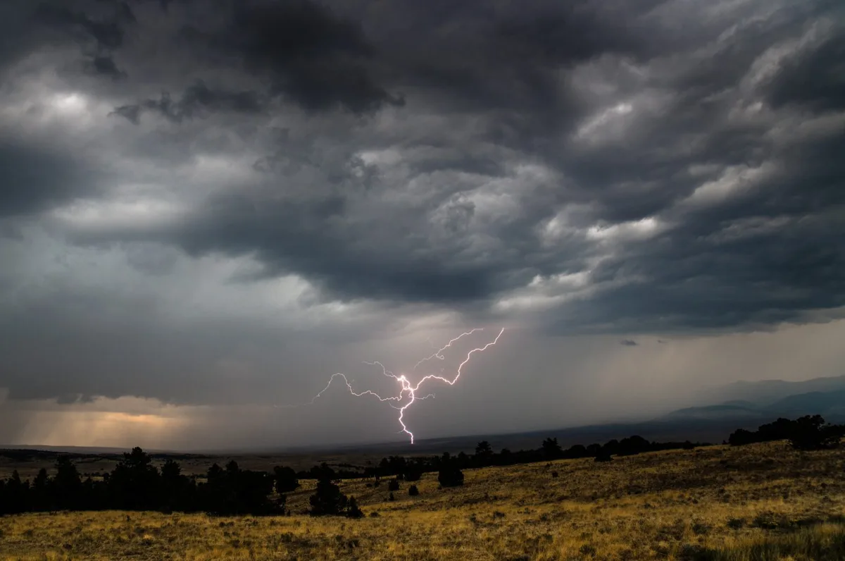
WASM – Jordan will be affected by rainy and unstable weather conditions starting from Saturday afternoon and evening until Monday morning due to the intrusion of a cold air mass towards the Eastern Mediterranean basin.
Beginning Saturday evening, scattered thunderclouds will increase and thunderstorms will bring rain showers to various regions of Jordan, sometimes accompanied by active winds, coinciding with the beginning of a low-pressure system formation south of Cyprus Island.
Heavy thunderstorms will recur on Sunday across various regions of Jordan, particularly the western parts of the country, due to the influence of the low-pressure system south of Cyprus Island accompanied by a deep cold front extending to the middle layers of the atmosphere.
Rain and cold conditions will continue Sunday evening and the night hours of Sunday/Monday and will gradually retreat Monday morning with cold weather persisting and light rain falling during Monday's daytime.
WASM has issued a yellow alert level for expected weather conditions from Saturday afternoon until Monday morning due to occasional heavy thunderstorms, active winds, and a drop in temperatures. WASM advises staying away from water accumulation areas, wadis, and water flow zones.
WASM is monitoring the continuation of rainy and cold conditions during the last 10 days of November, especially the period between the 19th-22nd of the month, and also more intensely between November 25th-27th.
From a scientific analysis perspective, the kingdom will be crossed during Saturday evening hours by a cold front in the upper layers of the atmosphere coinciding with the presence of a warm air mass at the surface, leading to atmospheric instability. This coincides with the beginning of a low-pressure system formation south of Cyprus, intensifying the unstable weather conditions due to what is called a "baroclinic atmospheric instability." With the formation of the low-pressure system on Sunday, a deep cold front crosses into the middle layers of the atmosphere, increasing and organizing the intensity of thunderstorms, which are sometimes heavy. The cold air mass then affects the region coinciding with the intrusion of high-humidity westerly winds during the night of Sunday/Monday, and rain continues with decreasing thunder activity.
To find out temperatures in your cities, please visit the following link.. www.wasmweather.com
Jordan.. Thunderstorms and Temperature Drop from Saturday Evening through Monday Morning