
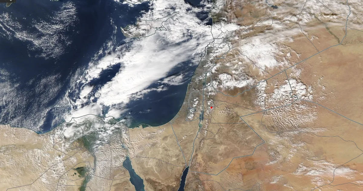
WASM – Jordan will be affected by a low-pressure system positioned south of Cyprus Island tomorrow, Sunday, causing scattered thunderstorms, active winds, and a noticeable drop in temperatures, with its effects continuing until Monday morning.
Thunderstorms will increase during the evening and night hours from Saturday to scattered areas, resulting in rain showers in various regions accompanied by hail showers and occasionally active winds. Thunderstorms will renew tomorrow, Sunday, starting from late morning hours over the northern, central, and southern regions of the kingdom.
The low-pressure system's effects will recede Friday morning, with rain shower intensity decreasing to become generally light, while cold weather persists overall. WASM has issued a yellow alert level for the expected severe weather conditions during the coming hours, starting from Saturday evening until Monday morning. WASM advises staying away from low-lying areas and water accumulations
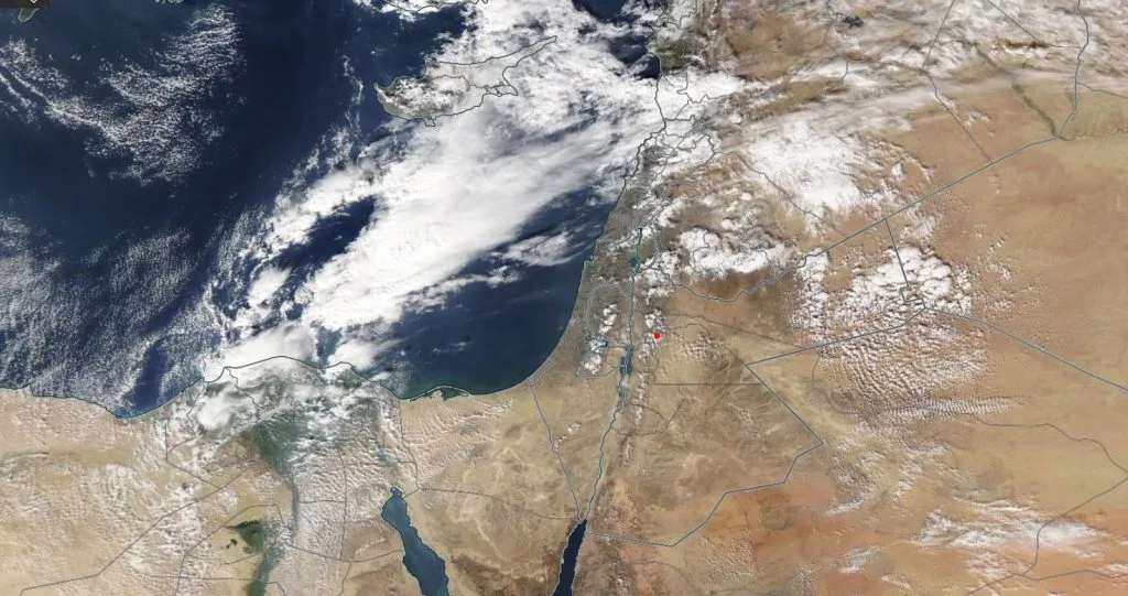
Rain is expected to renew at the end of the current week due to the continued surge of cold air masses toward the Eastern Mediterranean basin. Weather conditions are expected to be more intense at the end of this month.
In scientific detail, a cold air front is expected to affect the kingdom in the upper atmosphere layers Saturday evening, coinciding with an extension of the Red Sea low accompanied by its warm air mass, leading to thunderstorm cloud formation and rain and hail showers occasionally in some areas along with active winds. Starting from tonight, the low-pressure system begins its "formation" phase, which also results in unstable weather conditions called baroclinic instability, meaning sharp horizontal thermal gradient, where Jordan is affected by a warm air mass while the Mediterranean region is affected by a cold air mass. With the beginning of low-pressure system formation, the cold air front accompanying it begins to surge, deepening into the lower and middle atmosphere layers tomorrow, Sunday, during afternoon hours, with its effects beginning from late morning hours. This results in thunderstorm rain showers, after which the cold and humid air mass located behind the cold air front begins to affect Sunday/Monday night, making the atmosphere winter-cold and humid with rain showers and fog formation over mountainous areas.
To know the temperatures in your cities, please visit the following link.. www.wasmweather.com