
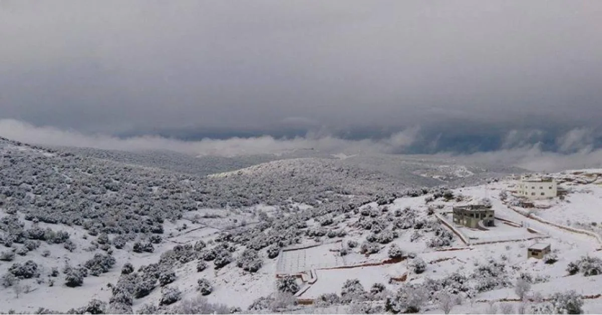
WASMWEATHER – Jordan will be affected by two weather depressions. The first begins on Sunday evening and causes heavy thunderous rains and hail showers in northern and central Jordan, continuing until Monday evening, and affecting parts of the south during Monday daytime with moderate intensity. Beginning Tuesday evening, the second depression starts affecting the region, accompanied by polar-origin winds and more abundant and widespread precipitation across various regions, and snow on high mountains.
Polar winds will intensify from Wednesday dawn, causing rainfall to convert to snowfall on high mountains across various regions of the kingdom, covering all elevated areas exceeding 1000 meters above sea level, with variations possible around altitudes.
Snow accumulations are expected on the peaks of high mountains, but they will be generally light, with moderate accumulation in limited and narrow bands of high mountains. A significant temperature drop is expected to reach zero degrees Celsius on high mountains.
The capital Amman is expected to witness heavy precipitation during the coming days, mixed with snow from Wednesday dawn and morning, with no impact on public life appearance, except for snow showers on its high peaks including the heights of Dabouq, Khalda, and Tal al-Ali and surrounding areas, which may cause light accumulations in parts of those peaks warranting attention.
WASMWEATHER will issue an orange alert level for weather conditions during the coming days, reaching red on high mountain peaks due to snow accumulation from Wednesday dawn and morning.
To know the temperatures in your cities, please visit the following link.. www.wasmweather.com