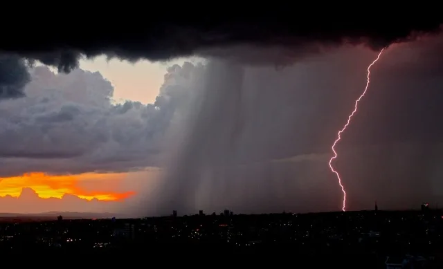
WASM – The Kingdom is affected by a state of atmospheric instability on Sunday and Monday, with a rise in temperatures, and an increase in scattered cumulus clouds during afternoon and evening periods, with rain showers falling in limited areas, accompanied by thunder, especially in the north of the Kingdom and parts of its center, and also including limited areas of the peaks of mountains in the southwest of the Kingdom.
It is expected that precipitation will be heavy in narrow areas and for short periods of time, especially in the north of the Kingdom, and atmospheric instability cases are considered typical at this time of year.
In simple terms, the weather will be sunny and warm, then become partly cloudy during afternoon and evening periods, and rainfall will be in limited and scattered areas and not in all regions, and wind speed and direction will be variable.
Temperatures will drop at the end of the week and the beginning of next week, but with a renewal of unstable conditions and in a more widespread and intense manner, with atmospheric instability cases increasing noticeably during the last week of the current month.
WASM always recommends staying away from low-lying areas and water accumulation during atmospheric instability cases even if the weather is sunny and warm, due to the nature of these weather conditions that affect in a limited manner but with heavy precipitation at the same time.
The scientific reason for these weather conditions is the presence of a low-pressure system south of Cyprus, accompanied by an extension of the Red Sea low from the south, which results in the meeting of two air masses with different characteristics, the first being warm and slightly humid driven from the south and the other being cold and humid driven from the west.
Jordan.. Unstable weather conditions on Sunday and Monday with a slight rise in temperatures