
WASM- The Kingdom will be affected by khamsin fluctuations, active winds, and slightly warm conditions in the mountains over the coming days, with temperatures ranging from the early to mid-twenties Celsius during the day in the capital and mountains, but the atmosphere will remain cold during the night, accompanied by active winds that increase the feeling of cold weather in some periods.
These khamsin fluctuations are expected to intensify mid-next week, with increased wind activity coinciding with light dust in the atmosphere and significant temperature fluctuations (between sharp rises and noticeable drops).
Winter and very cold conditions with heavy rainfall are expected to return after these khamsin conditions during the middle and end of next week, with temperatures expected to approach freezing again in the mountains and possibly below that in high mountain areas, coinciding with heavy precipitation.
WASM Regional Center has issued the monthly bulletin for the blessed month of Ramadan which continues to record "exceptional accuracy" through the use of the climate model we have developed and designated for long-range forecasts.
Khamsin atmospheric disturbances |
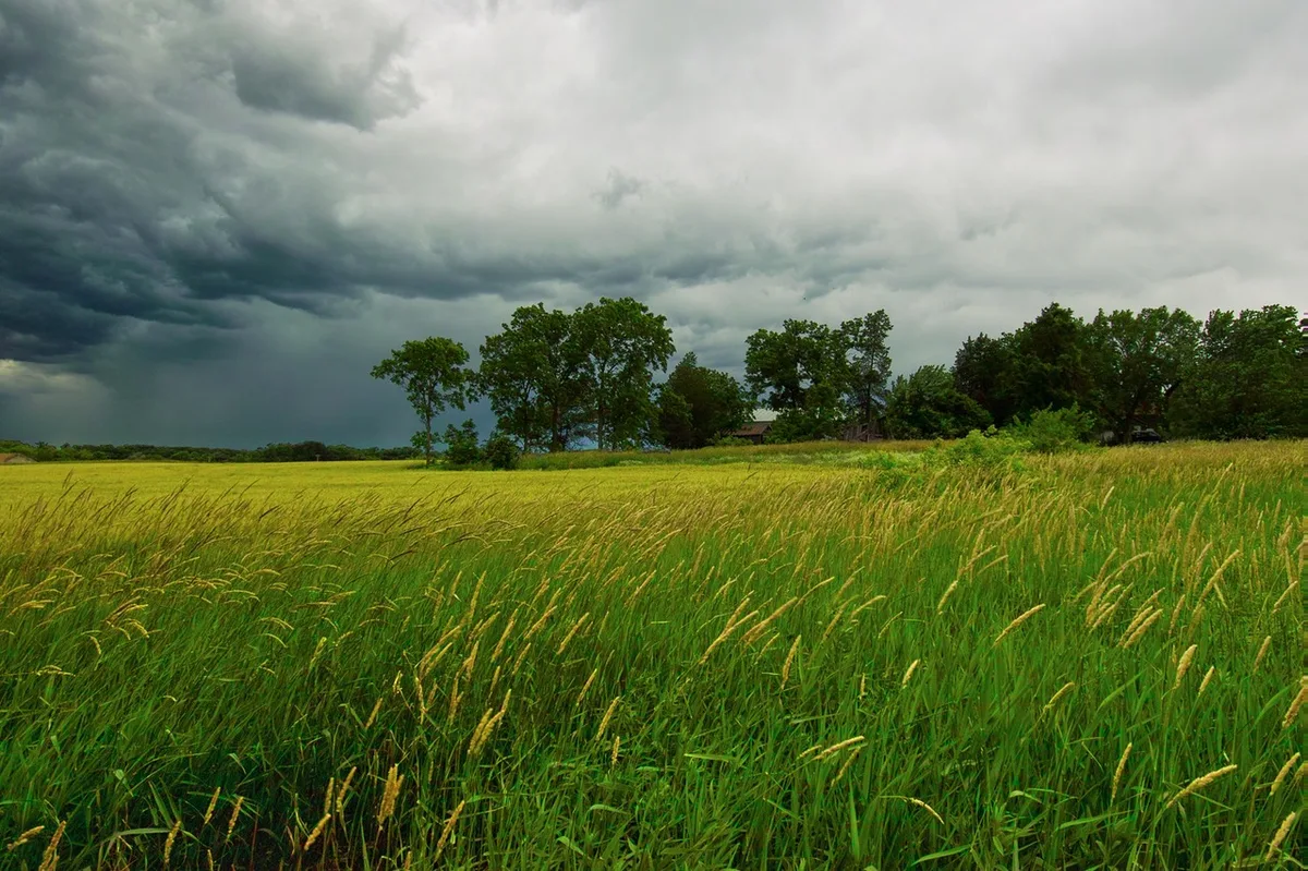
Khamsin disturbances will continue to affect the Kingdom over the coming days, with active winds, high and mid-level clouds appearing, coinciding with light dust. The recent heavy rains in most areas of the Kingdom have helped reduce the intensity of dust raised despite active winds.
These khamsin disturbances are expected to reach their peak on Monday and Tuesday next week, so caution is advised for allergy and asthma patients, as well as attention to "very large" temperature differences which may exceed a 20-degree Celsius difference between mid and end of next week.
Very cold conditions and heavy rainfall|
A very cold air mass with polar characteristics is expected to advance from the northeast of the European continent towards the eastern Mediterranean, the Levant, the Kingdom, Palestine, and northern Egypt, resulting in the formation of several weather depressions accompanied by very cold conditions and heavy rainfall beginning after mid-next week for several days, and is expected to continue during the last days of the blessed month.
Indicators of cold conditions during Eid|
The indicators remain strong and based on climate model data from WASM Regional Center, pointing to the continuation of cold conditions and rainfall until the last days of the blessed month, meaning continued cold weather during Eid.
Seasonal transition phenomenon|
The weather depression expected after mid-blessed month or even the extremely cold conditions accompanying it is not considered rare compared to this time of year, but late weather depressions accompanied by large amounts of rainfall have become a recurring phenomenon in recent years due to a climate phenomenon called "seasonal transition," which causes the concentration of heavy rainfall during the second half of the rainy season.
There are no indicators of important stable warm weather conditions for the coming period, as weather fluctuations and late weather depressions are expected to continue over the coming few weeks.
2 billion cubic meters of rainwater during the latest weather depression|
Over 2 billion cubic meters of rainwater fell during the latest weather depression which affected all regions in an unusual manner, and as a result of its positioning in the southeast of Jordan, this amount equals 25% of the entire rainy season.
According to detailed satellite imagery analysis and calibration with some ground meteorological monitoring stations, this amount was concentrated in the central region of the Kingdom and the Dead Sea area as well as southwestern areas and also desert areas, particularly around the areas of Ma'an, Azraq, and Ruwaished.
While these amounts were lower in the far northwest of the Kingdom and the far west of central regions, as well as the far southeastern areas.
The latest weather depression resulted in very large amounts of rainfall in most of the Arabian Peninsula and Iraq and northern Egypt, while its impact was limited in Syria and Lebanon, and moderate in intensity over Palestine.
The weather depression resulted in widespread flooding, pressure on infrastructure, as well as human losses "may God have mercy on them" and mobilization of civil defense and public security during the weather situation.