WASM-
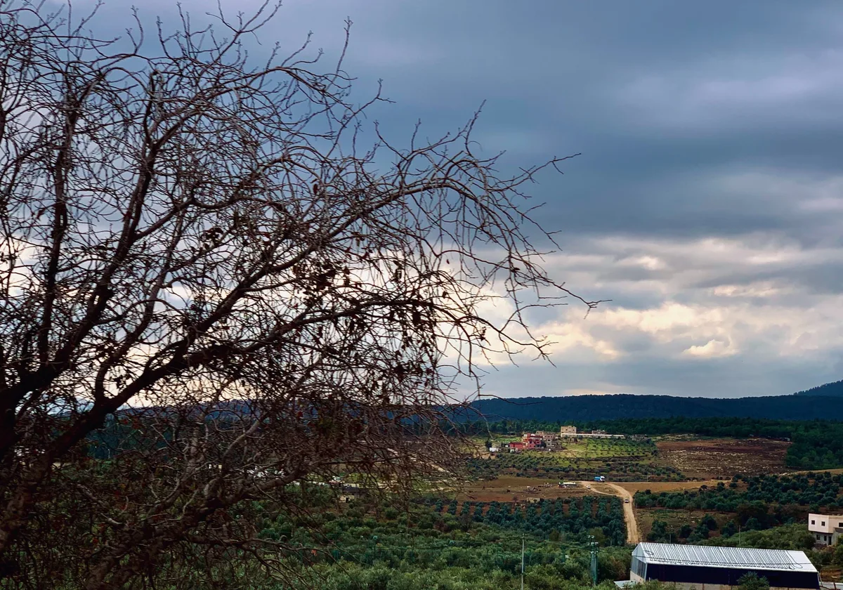
The Kingdom is affected by a new cold air front accompanied by rainfall, which is heavy in some areas, particularly in the central regions of the Kingdom. The effect of this front begins from the north of the Kingdom around midnight, then gradually extends to the rest of the regions. It is not unlikely that rainfall will be mixed with hail showers in high mountains.
Deepening low pressure system north of Lebanon|
As a result of very cold winds flowing across the Mediterranean Sea, a low pressure system deepens and positions itself north of Lebanon. Winds intensify during Monday daytime, and rain clouds thicken gradually during the night, particularly in the northern and central regions of the Kingdom. The reason for wind intensification is the Kingdom's exposure to the leading edge of the cold air front, which takes the form of westerly to southwesterly winds that reduce cloud coverage and mitigate rainfall intensity in various regions temporarily.
With the passage of the cold, rainy front around midnight, rainfall intensifies in the northern and central regions, and gradually extends to the southwestern and northeastern regions during Tuesday daytime.
Alert for heavy rainfall after midnight until Tuesday noon|
High rainfall rates are expected occasionally due to high atmospheric activity in the middle and upper layers of the atmosphere coinciding with the passage of the cold and high-humidity front. This increases the chances of flash floods, particularly in the central regions of the Kingdom and the Dead Sea area.
Gradual retreat of the low pressure system after Tuesday afternoon|
The low pressure system's effect gradually retreats after Tuesday afternoon. Clouds gradually decrease, and wind speeds decline noticeably, but the weather remains extremely cold, especially in the mountains and plains. Temperatures drop to zero degrees Celsius on the peaks of high mountains in the south of the Kingdom during the Tuesday/Wednesday night, and frost formation chances increase in parts of the high mountains, eastern plains, and desert areas.
Continued cold weather on Wednesday and Thursday with possible chances of rain showers|
Chances of rain showers remain possible on Wednesday and Thursday, especially during the Wednesday/Thursday night and Thursday morning in parts of the northern and central regions of the Kingdom, coinciding with cold weather and low temperatures.
Monitoring a long series of multiple low pressure systems accompanied by heavy precipitation beginning next week|
Atmospheric pressure rises rapidly over most areas of Europe, causing an influx of new cold air masses toward the eastern Mediterranean during the beginning of December, resulting in a long series of multiple rainy low pressure systems during the first half of December, with details to follow.
Jordan| Weather Alert.. A New Rainy Front Affects Most Regions of the Kingdom Tonight Until Tuesday Afternoon