WASM – The WASM Regional Center issues this weather bulletin using W.DMM technology developed in-house, which contributes to increasing the accuracy and stability of weather information without anticipating clear changes in details.
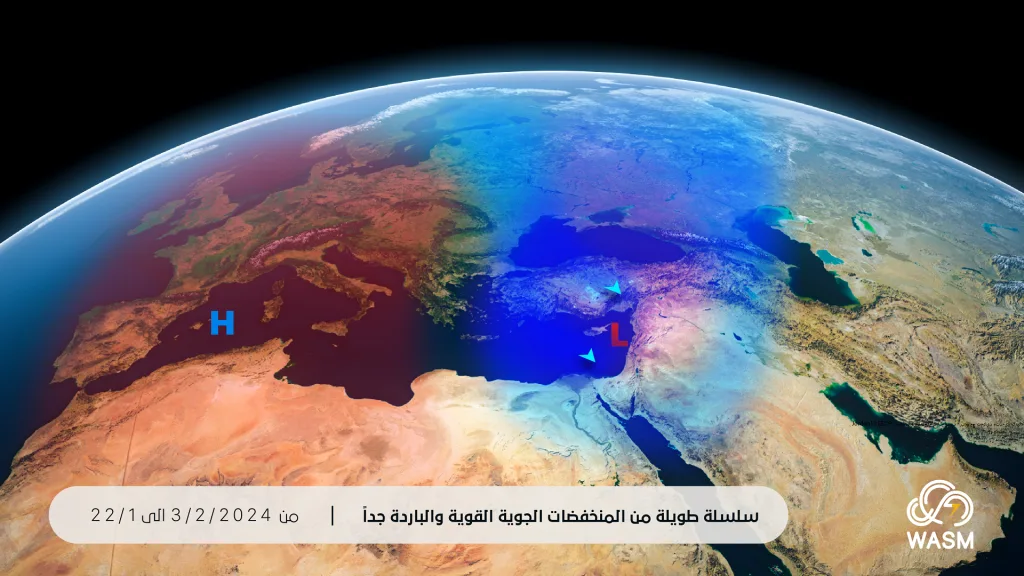
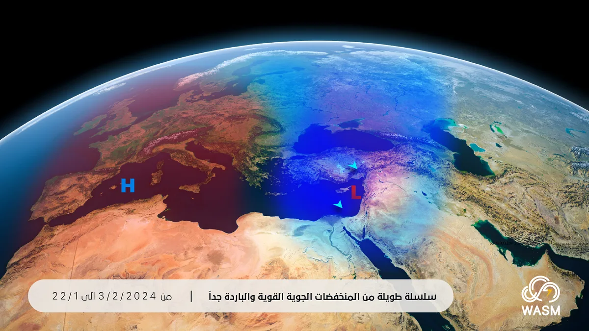
The Kingdom is expected to be affected by a long and strong series of several cold weather depressions starting from midnight tonight and continuing until the end of the first week of February at the earliest, accompanied by "very" large quantities and possibly record-breaking amounts of rain in many regions amid very cold atmospheres and an increased chance of snow falling during the last days of the month and the beginning of February on mountainous regions.
- Heavy rains arrive at midnight and continue for long days|
Heavy rains are expected to fall starting from midnight tonight (Monday/Tuesday night) as a result of several weather depressions affecting the Kingdom accompanied by high humidity from the Mediterranean Sea and north of the Atlantic Ocean. These heavy rains are expected to continue for long days and will last at least until the end of the first week of February. Some regions are expected to record more than half the seasonal rainfall rate during this period and may exceed it with a good possibility of record-breaking figures in some areas.
- Winter storm at the end of the week|
The Kingdom will be affected by a "long-lasting" winter storm starting Friday and intensifying during the coming week significantly amid a major drop in temperatures. Large amounts of heavy precipitation and snow showers are expected on high mountains, and the flow of extremely cold polar winds toward the storm will increase at the beginning and middle of the coming week, which increases the chance of snow falling on mountainous regions.
- "High" chances of snow during the last days of the month and the beginning of February|
As a result of the continuous flow of very cold polar winds toward the Kingdom and the eastern Mediterranean region, this increases the chance of snow falling on mountainous regions, especially during the period between the 29th of the month until February 4th. The peak of this opportunity is expected around the first two days of February based on information issued from W.DMM technology, which the WASM Regional Center has developed.
WASM advises continuous monitoring of warnings from the Jordanian Meteorology Department and guidance from Civil Defense and Public Security regarding the expected "strong" weather conditions, especially regarding very large amounts of rain and low temperatures close to zero and possibly below it in the mountains. The rate of strong winter storms affecting the Kingdom has increased during recent years due to changes in atmospheric circulation patterns compared to previous years.