WASM – Heavy rainfall continues across the Kingdom for the fifth consecutive day, which is expected to continue for several more days as a result of the continuous impact of a "strong" winter storm on the Kingdom and the eastern Mediterranean region, which has caused very large amounts of rainfall exceeding 90-100 mm since Friday in some areas of northern and central Kingdom, not including the large quantities of rainfall that fell on Tuesday and Wednesday.
In details, rainfall remains heavy and at intervals with severe intensity at times, particularly on the western highlands of the country and more notably over central and northern Kingdom.
Continuous rainfall on Sunday and severely cold conditions..
A warm, high-humidity rainy air front is moving towards the Kingdom and affecting central areas and the eastern desert region, with dense fog expected to form occasionally.
Severely heavy rainfall on Monday in successive intervals..
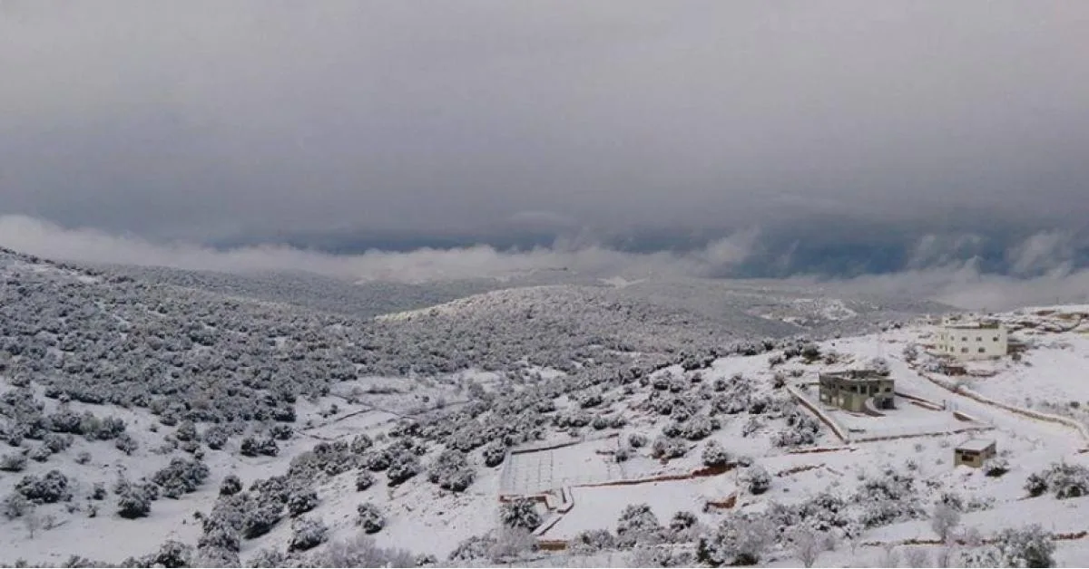
As a result of the surge of extremely cold polar winds towards the Kingdom, rainfall is expected to intensify to become heavy to severely heavy at times coinciding with heavy hail and mixed snow showers on the highlands and stormy wind gusts, and during night hours, snow showers will fall on the peaks of high mountains in northern and central Kingdom and parts of the high southern peaks.
Winter storm intensifies Tuesday and Wednesday..
As a result of the deepening of "extremely cold" polar winds towards the Kingdom, this leads to high rainfall rates over northern, central, and northeastern areas of the Kingdom, extending at intervals towards southwestern highland areas and in the form of scattered snow precipitation.
WASM Regional Center is monitoring a significant temperature drop on Tuesday evening coinciding with "intensification of precipitation" which may be "at very high and unusual rainfall rates in some areas of northern and central country" due to the region being affected by very humid and extremely cold westerly winds, which increases the likelihood of snow falling on the highlands of northern and central country, which continues at intervals until Thursday morning.
Winter storm continuing at the end of the week..
WASM Regional Center is monitoring the continuation of the winter storm at the end of the week and the severity of cold weather, and the continuation of precipitation but at intervals over various areas of the Kingdom amid temperatures below zero Celsius at times in the mountains.
Winter storm retreat with the beginning of next week (5 February)..
The winter storm will retreat from the Kingdom later, but temperatures will remain very low, and weather will stabilize gradually, but this stability will be for a short period before new rainy and humid depressions renew with less cold for several days.
Alerts..
The winter storm has caused "very large" amounts of rainfall, particularly in northern and central Kingdom, resulting in flooding of valleys and formation of torrents, and as a result of expected continued rainfall, this will lead to a high chance of rockslides on slopes and mountainsides, and flooding of many valleys and formation of torrents.
With increased chances of snow precipitation mid-week on mountain highlands, particularly northern and central Kingdom and southern peaks, this will increase the risk of landslides and freezing and difficulty of traffic movement on some slopes.
WASM issues red alert level for weather conditions during the coming days, and more details will be issued successively.
Jordan | Weather Alert: Heavy Rainfall Continues and Winter Storm Intensifies on Monday and Mid-Week