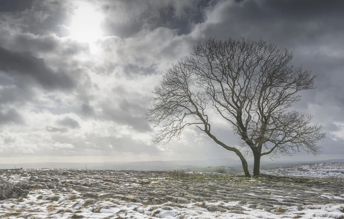
WSAM- The Kingdom is affected by a depression accompanied by a polar-origin air mass advancing from the east of the European continent, resulting in heavy rainfall and very cold conditions with snow falling on the peaks of high mountains, especially in the southern parts of the Kingdom with varying accumulation. Winds will also be active, particularly on Friday and Saturday significantly.
The impact of the atmospheric depression begins in the evening of Thursday in the form of rainfall, becoming heavy during Thursday/Friday night and Friday daytime over northern and central regions and parts of southern Kingdom. Gradually and beginning from Friday evening, a cold polar-origin air front will advance into the Kingdom, causing a significant temperature drop, intensifying rainfall and hail falling, with snow showers on the peaks of high mountains, especially in the southern parts of the Kingdom.
Weather will remain very cold and heavily rainy on Saturday and Sunday with snow showers on the peaks of high mountains, especially in the southern parts. Weather will gradually stabilize in the evening of Monday temporarily, as another weather condition is being monitored for mid and end of next week.
WSAM issues an orange alert level for weather conditions and red alert on the peaks of southern mountains due to snow accumulation on Saturday and Sunday through Monday morning
WSAM recommends continuous monitoring of updates on the expected weather condition and any changes that may occur in the weather situation.
Jordan | Weather Alert.. Low-pressure system with heavy rain and snow showers on high mountain peaks at the end of the week