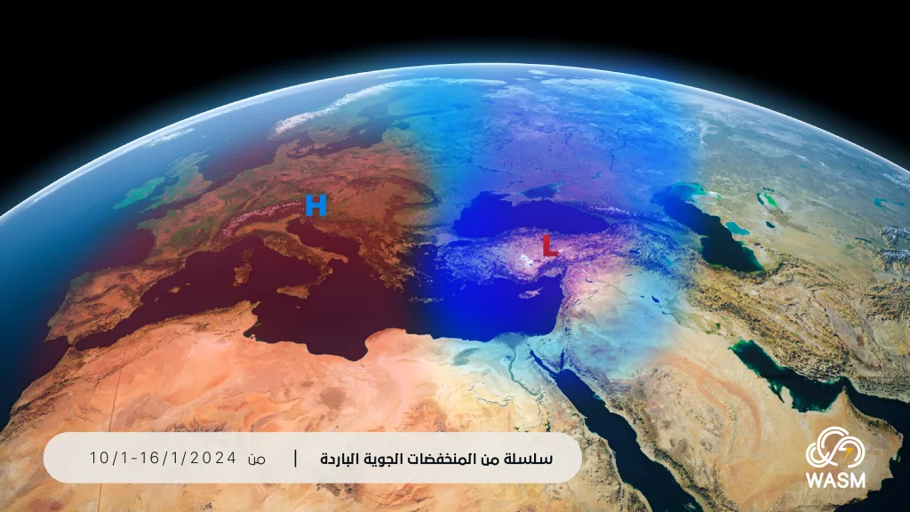
WASM- The Kingdom will be affected by a series of atmospheric depressions starting Wednesday night and continuing until the middle of next week, accompanied by large amounts of rain and very cold conditions at high mountain peaks. Additionally, strong winds and snow showers on high mountain peaks are expected during the beginning of next week. These depressions are expected to coincide during the beginning of next week with the surge of "polar-origin" winds towards the eastern Mediterranean basin.
Details..
Atmospheric depression from Wednesday night until Thursday daytime..
The Kingdom will be affected by an atmospheric depression centered around the Cyprus basin, causing rain that will be heavy at times in the north and center of the Kingdom and parts of the eastern desert regions coinciding with active winds. Gradually during Thursday afternoon, another atmospheric depression will form over the east of Cyprus island as a result of the continued surge of cold winds from eastern Europe. WASM will issue a yellow alert level from Wednesday night until Thursday daytime.
Another atmospheric depression with heavy rain from Thursday evening until Saturday dawn..
An atmospheric depression will form as a result of the continued surge of sub-polar cold winds from the eastern European continent. Rain will intensify to become generally heavy in the center and north of the Kingdom and extend periodically towards the highlands of the southwest of the Kingdom, which will take the form of winter precipitation sometimes at high peaks. Floods and flash floods are expected to form in low-lying areas, particularly in the center and north of the Kingdom coinciding with sometimes strong winds.
A deep atmospheric depression approaches the Kingdom on Saturday and begins its effects on Saturday/Sunday night..
A deep atmospheric depression with "high activity" is approaching, accompanied by a polar-origin air mass surging from the northeast of the European continent. Rain intensity will decrease during Saturday daytime and winds will become active to strong, raising dust in desert areas with a southwest direction. Gradually with the hours of Saturday/Sunday night, heavy to sometimes extremely heavy rain will begin to fall in areas of the north, center, and east of the Kingdom and gradually extend to the southwest areas during Sunday daytime.
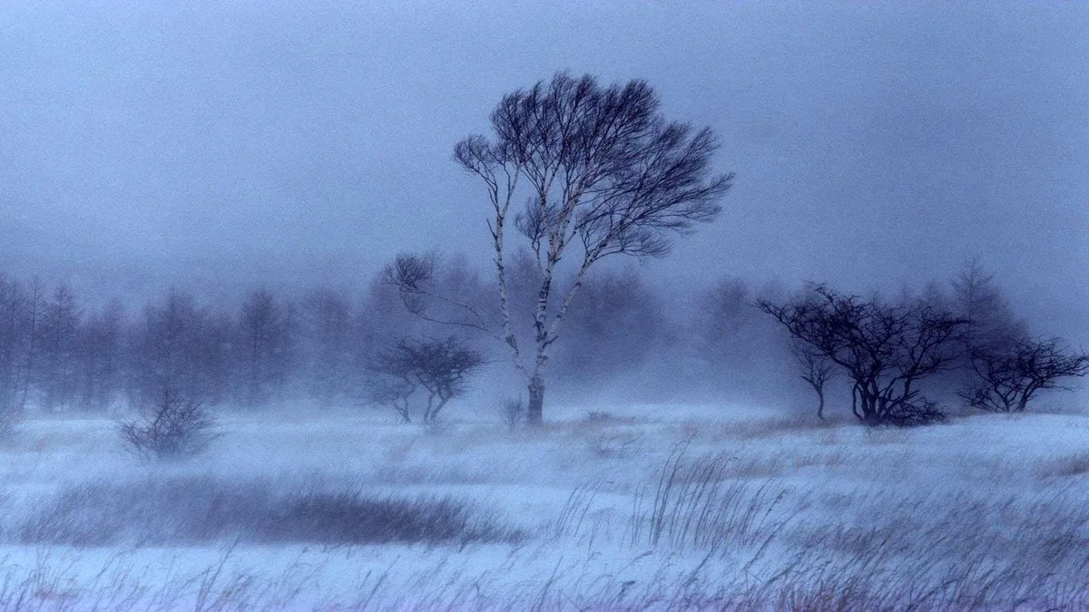
Snow showers are expected to fall on high mountain peaks, especially the northern and southern ones of the Kingdom coinciding with strong winds and storm gusts. WASM Regional Center expects this atmospheric depression to bring very large amounts of rain to many areas, and the depression's effects will continue until Tuesday morning.
WASM will issue further updates in the coming days about the changes that may occur in the weather conditions, especially those expected at the beginning of next week coinciding with the surge of "polar-origin" winds towards the Kingdom and the eastern Mediterranean region.