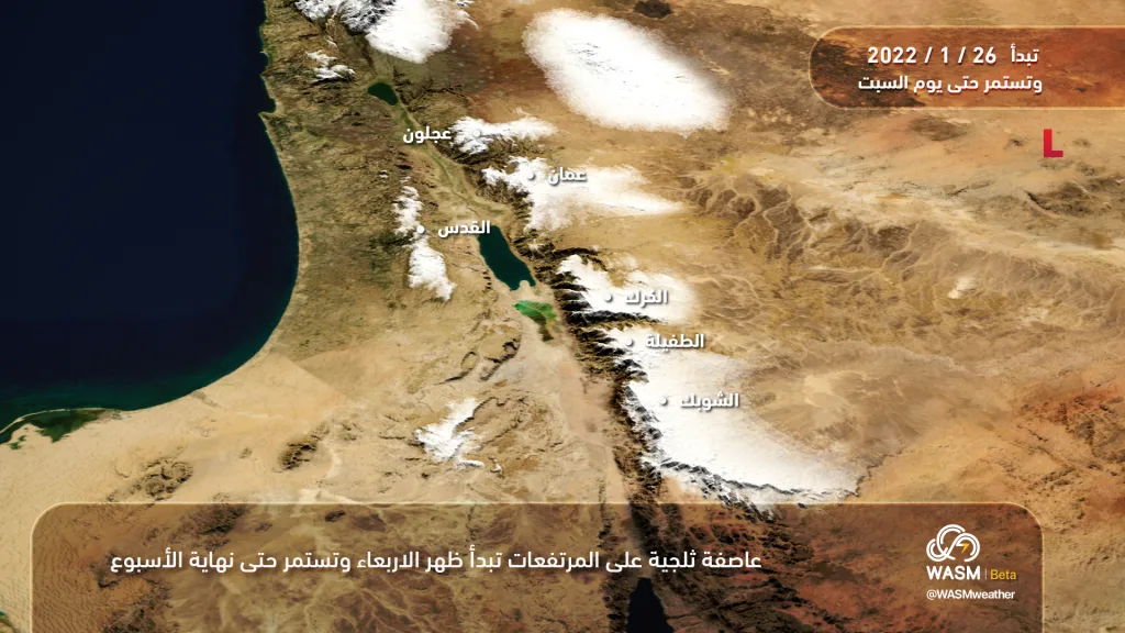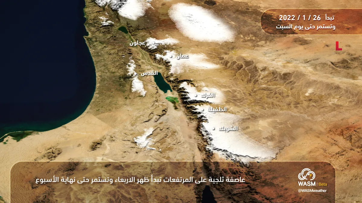
WASM- The Kingdom is being affected by a snowstorm that begins Wednesday afternoon and reaches its peak strength in the evening hours of Wednesday and Wednesday/Thursday night. Snow accumulation is expected at an altitude of 700 meters above sea level, becoming dense above 800 meters, and "highly dense" above 950 meters. The impact of the storm is preceded by a temporary stabilization of weather conditions on Tuesday, which is typical before storms occur.
The snowstorm begins Wednesday afternoon..
In detail, the low-pressure system is positioned over the coasts of Syria with another center over Lebanon on Wednesday afternoon, accompanied by stormy winds with gusts reaching 100 km/hour coinciding with heavy precipitation, which takes the form of heavy rains in low-lying areas and heavy snow above 700 meters. The storm begins Wednesday afternoon at altitudes above 1000 meters, then rapidly descends to 900 meters during the afternoon, then 800 meters in the evening and night hours, and by midnight Wednesday/Thursday it descends to 700 meters and occasionally below that, affecting many areas and cities.
The snowstorm continues until the end of the week over high elevations..
The snowstorm continues until Thursday afternoon above 800 meters, then retreats to an altitude of 900-950 meters from Thursday afternoon until Friday evening, and gradually decreases during the day on Saturday, with precipitation becoming weak and taking the form of rain mixed with snow on high mountains.
The snowstorm is classified as "strong" with its focus primarily on the central region, then northern areas, and with less intensity in the southern highlands.
More storms and successive low-pressure systems throughout the rest of winter..
WASM issues a red alert level due to the snowstorm and the dense accumulations expected during Wednesday and Thursday, especially above 800 meters. WASM's center is also monitoring more storms and low-pressure systems during the first week of February, making the succession of these low-pressure systems and storms "unusual" and not occurred for many years.