WASM-
The Kingdom is expected to be affected by a strong polar wave with high humidity beginning Wednesday/Thursday night and Thursday, continuing until mid-next week at minimum, accompanied by large quantities of rain and accumulated snow on most mountainous highlands including the capital Amman. Snow is expected to reach low-lying areas for the first time in many years during the peak of the polar wave's impact.
The polar wave begins with large quantities of rain from Wednesday/Thursday night until Saturday daytime, coinciding with occasional snowfall on the summits of high mountains above 1100 meters, particularly Friday/Saturday night and Saturday day, including the high peaks of Ajloun, Jerash, and Amman.
Alert for flash floods and large quantities of rain from Wednesday/Thursday night until Saturday daytime|
As a result of the slow and gradual advance of the polar wave toward the region, large and abundant quantities of rain are expected, leading to the formation of flash floods, transported floods, wadi flooding, and dam overflows.
Heavy accumulated snow from Saturday/Sunday night until mid-next week|
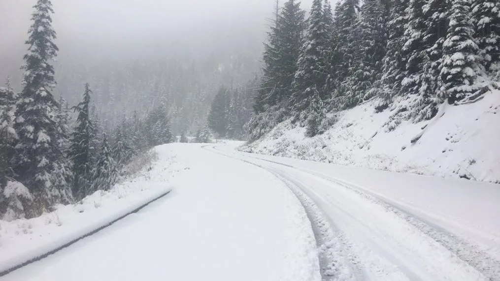
Heavy accumulated snow will fall from Saturday/Sunday night until mid-next week, covering most mountainous highlands and extending to low-lying areas for the first time in many years during Sunday/Monday night and Monday daytime. Snow accumulation levels may reach 200 meters above sea level due to a rare meteorological phenomenon and as a result of the intense cold of the strong, high-humidity polar wave.
Long-lasting polar wave and risks of snow accumulations and severe frost|
The polar wave will continue for an extended period, accompanied by heavy accumulated snow from Saturday/Sunday night, large quantities of rain from Wednesday night until Saturday daytime, with frost occurring and significant temperature drops that may reach -4 degrees Celsius in the highlands of the capital on Sunday/Monday night for the first time in many years, with snowfall extending to low-lying areas.
The WSAM Center will issue more details progressively in upcoming reports regarding snow precipitation levels and accumulation thicknesses.
WSAM- Intensification of the climate phenomenon "Seasonal Shifting" |
This phenomenon is called "Seasonal Shifting" and is due to climate changes affecting the region, which have caused this phenomenon to intensify in recent years. It has been found that more than 75% of rainfall in recent years has been delayed to the second half of the rainy season compared to 46% before climate changes.
This phenomenon has also led to increased rainfall rates and a rise in the severity rate of winter or snow storms, and an increased chance of very large quantities of rain falling in shorter time periods. This phenomenon was very evident in the 2022-2023 season, where more than 90% of the rainy season fell in some areas during the second half of that season and rain continued until mid-June, registering seasonal increases of around 40-70% in most areas.
Jordan has not suffered from any shortage of rainfall amounts in recent years; rather, there have been changes in the nature of rainy seasons, their intensification, and an increase in rainfall rates by more than 60%.
Jordan | Weather Alert.. Strong Polar Wave, Heavy Rain and Accumulated Snow on Most Elevated Areas