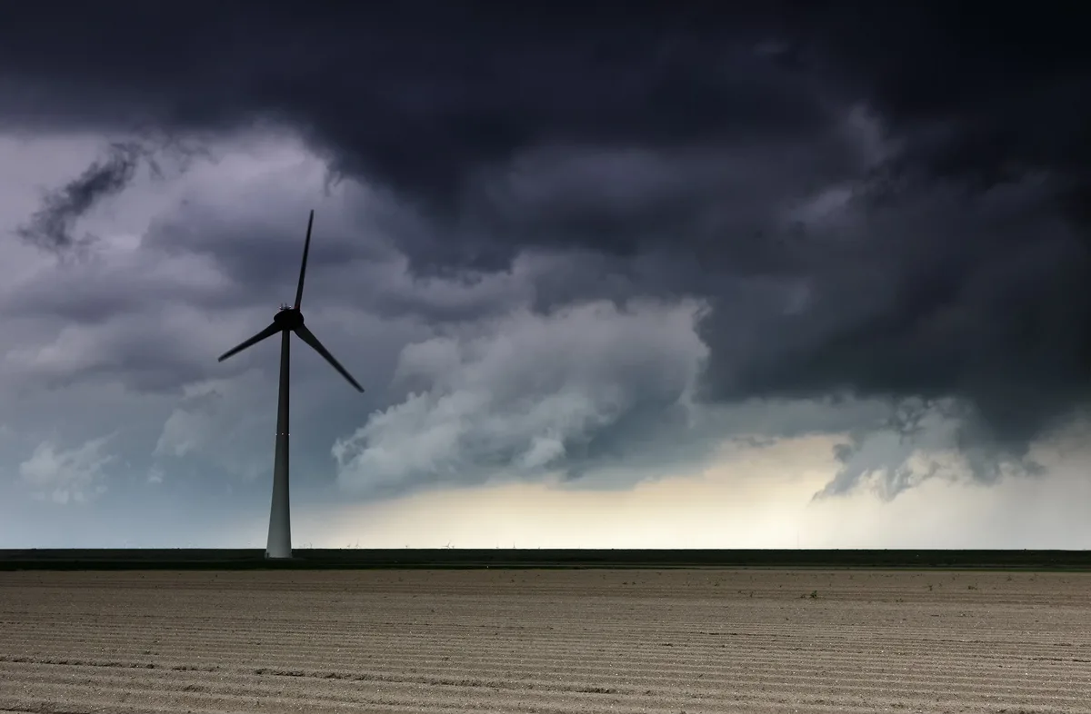
WASM - The Kingdom will be affected by unstable weather conditions beginning Monday night and intensifying on Tuesday and Wednesday daytime across various regions, resulting in thundery showers, active winds, weather disturbances, and rapid atmospheric fluctuations.
Gradually, temperatures will rise slightly on Monday and increase further on Tuesday, but coinciding with the advancement of dense clouds across different atmospheric layers toward the Kingdom and scattered, sporadic thundery showers. Starting from Tuesday/Wednesday evening and night hours, the atmospheric conditions will intensify and thundery rainfall will increase in severity, particularly over the southern mountains including Shobak, Ma'an, Tafilah, and Karak, extending to Madaba, the capital Amman, and Zarqa at intervals, then later to the northern and eastern regions.
Rainfall intensity will generally be light to moderate, but occasionally heavy, causing water accumulation in low-lying areas and valleys, particularly in the southern mountains.
Weather will calm temporarily on Wednesday/Thursday night and temperatures will drop, then unstable weather conditions will resume on Thursday and Friday over scattered areas, particularly the southern mountains.
A cold, high-humidity air mass is expected to advance toward the Kingdom and the eastern Mediterranean later during the beginning and mid of next week, causing a significant temperature drop, cold weather, and rainfall in many areas.
The alert level yellow for weather conditions will be issued on Monday evening, Tuesday, and Wednesday daytime, with an expected renewal of this alert level on Thursday and Friday.
Weather condition fluctuations increase at this time of year, which this season coincided with an early rainfall start since the end of September, and weather-related rainy conditions are expected to continue until mid-November.
In scientific detail, the Red Sea low advances from the south and dominates the Kingdom's atmosphere with a warmer air mass coinciding with humidity present across different atmospheric layers. Due to the approach of a cold air mass from the west, cumulus clouds develop and rainfall showers occur across various regions on Monday evening, Tuesday, and Wednesday daytime. Due to the expected passage of a cold weather front in the lower atmospheric layers on Tuesday evening and Wednesday morning, it causes severe atmospheric conditions especially over the southern mountains. The advancement of the warmer and more humid air mass from the south renews on Thursday and Friday, causing renewed atmospheric conditions.
Jordan | Weather Alert: Thunderstorms and Unsettled Conditions with Strong Winds Beginning Monday Night