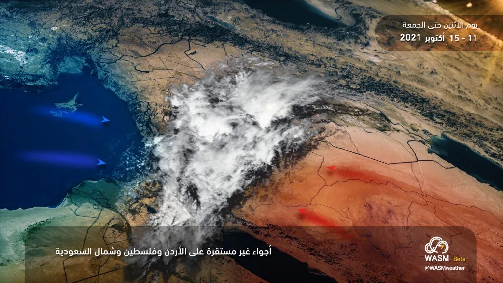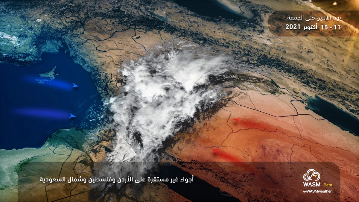
WSAM- The Kingdom is affected by unstable weather conditions starting tonight and intensifying tomorrow, Tuesday, across various regions of the Kingdom, continuing until Wednesday daytime, then recurring on Thursday evening and Friday. Rainfall occurs in the form of scattered thundershowers across different areas, more intense in mountainous regions.
In detail, masses of clouds at different altitudes are moving toward the Kingdom from the south tonight coinciding with a noticeable rise in temperatures. Cloud density increases tomorrow, Tuesday, with scattered thundershowers occurring at intervals. Starting from Tuesday/Wednesday evening and night, weather conditions reach their peak affecting various regions with rainfall that is heavy in limited areas, particularly in high mountains, which may cause water accumulation and active dust-stirring winds in some areas.
WSAM issues a yellow alert level for the expected weather conditions across the Kingdom from Monday night through Wednesday daytime. This alert renews from Thursday evening and night through Saturday dawn.
WSAM advises alertness to sudden weather fluctuations and active winds that stir dust across various areas and rainfall that falls suddenly as well across many regions in the coming days, as well as caution while driving on roads during rainfall. Patients with respiratory diseases, asthma, and allergies are advised to exercise full caution regarding weather conditions.
A slight temperature drop is expected on Wednesday evening, then temperatures rise again on Thursday daytime, then drop again significantly at the start of next week, indicating major temperature fluctuations in the coming days coinciding with weather disturbances.
WSAM Regional Center is monitoring a cold, high-humidity air mass during the beginning and middle of next week, which is expected to cause a return of cold weather and rainfall in many areas. Weather fluctuations in autumn are typical at this time of year and represent a transitional phase from summer to winter.
In scientific detail, the cause of expected weather disturbances is due to the meeting of a cold, humid air mass coming from the west with another warmer and more humid one coming from the south, accompanied by the "Red Sea Thermal Low" resulting in condensation and the formation of thunderstorm cumulonimbus clouds across various areas.