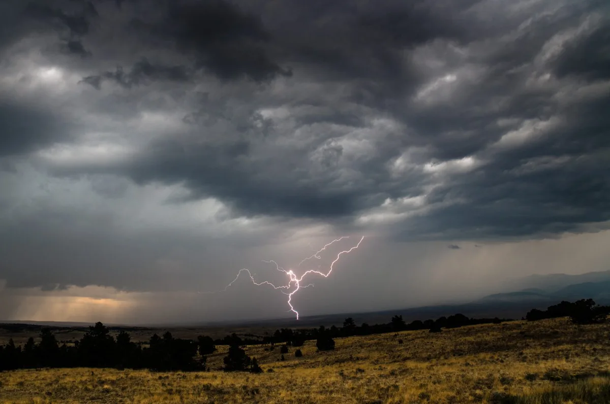
WASM – The Kingdom is affected by unstable atmospheric conditions and weather disturbances beginning Monday evening over southern regions of the Kingdom, gradually extending to cover scattered areas of Jordan. Thunderstorms will occur with wind activity and significant temperature fluctuations.
In detail, the Kingdom is affected by hotter winds compared to previous days, driven from the north and west of Saudi Arabia on Saturday and Sunday, coinciding with the formation of mid-level clouds and light rainfall in eastern desert areas.
The push of these hotter winds intensifies with an increase in humidity levels across different atmospheric layers on Monday and Tuesday, leading to the formation of rainy cumulus clouds, particularly in the southern regions of Jordan as well as the Sinai region in Egypt and southern Palestine.
Weather conditions intensify on Tuesday across various regions with partly cloudy skies, a drop in temperatures, and thundery showers falling in many areas, sometimes heavy in the southern regions of the Kingdom, coinciding with wind activity and weather disturbances. Weather conditions are expected to resume at the end of the week.
The WASM Regional Center is monitoring the return of cold and sometimes rainy conditions after mid-October, with more details to be issued in the coming days. WASM advises alertness to sharp weather fluctuations during the coming period, particularly temperature variations, wind activity, and sudden thunderstorms.
WASM issues a yellow alert level starting Monday evening until Wednesday morning, with this alert renewed at the end of next week.
In scientific detail, the Red Sea low-pressure system deepens, which typically affects at this time of year. This low is classified as a thermal low that deepens vertically down to the lower atmospheric layers, and it occurs regularly at this time of year, bringing hotter atmospheric conditions to the Kingdom. As a result of the approach of a cold air mass across the eastern Mediterranean, this causes cloud condensation and atmospheric instability conditions with different characteristics, often being "baroclinic in nature," meaning they occur as a result of temperature differences between lower and upper atmospheric layers. This causes cloud formation during evening hours extending through the night due to the extension of atmospheric disturbances to the upper atmospheric layers. The cold air mass begins to affect Wednesday gradually, then a hotter air mass pushes forward at the end of the week and atmospheric disturbances resume. This is the nature of changeable autumn weather.
To learn about temperatures in your cities, please visit the following link.. www.wasmweather.com
Jordan | Weather Alert: Unstable Conditions and Thunderstorms with Weather Fluctuations Beginning Monday Evening