WASM - WASM Regional Center is monitoring a "winter storm" expected to bring large quantities of precipitation, strong winds, and extremely cold weather to the Kingdom, which will begin at the end of the month (beginning of next week) and continue until mid-second week of February in several successive waves.
The winter storm is expected to approach the Kingdom by the end of the week, with active winds, significant temperature fluctuations, and scattered rainfall. Its actual impact will begin next week (January 30) and continue until mid-second week of February.
Weather will remain stable from Tuesday through Thursday and generally cold coinciding with active winds and clouds at different altitudes with light scattered rainfall in some areas.
- The winter storm will bring large quantities of precipitation across various regions|
Due to its strength, long duration, and characteristics of this storm, it is expected to bring large quantities of precipitation across various regions of the Kingdom, particularly the northern and central areas. This winter storm is expected to affect various regions of the eastern Mediterranean, the Levant, northern Egypt, northern Saudi Arabia, Iraq, Turkey and later towards Iran. The expected precipitation quantities are estimated at more than one-third of the entire rainy season at minimum, meaning complete seasonal averages will be achieved early for many central and southern regions of the Kingdom.
- High chances of snow in some mountainous areas|
Snow chances remain under monitoring by WASM Regional Center, which increase on the last day of January and during early February. We will issue full details soon as snow conditions are considered sensitive and rapidly changing.
- Current stability is the calm before the storm|
Current stability is an indicator of strong weather conditions expected later, which were predicted by WASM's climate model. The dry season and strong seasons are typically characterized by temporary calm periods preceding strong storms, which occurred during the previous season before mid-January followed by several strong atmospheric depressions toward the Kingdom and large quantities of snow.
- Reason for expecting the winter storm|
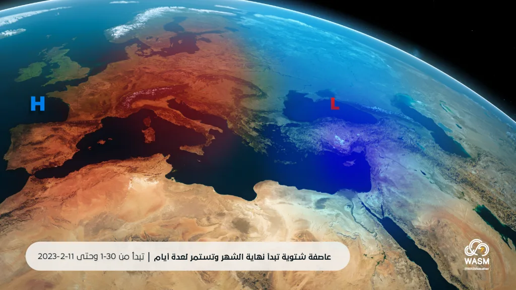
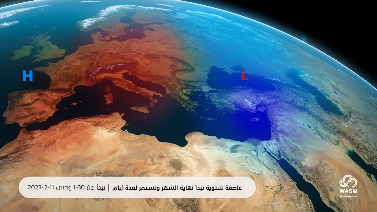
The reason for expecting the winter storm is due to a strong atmospheric high pressure system positioned over the eastern Atlantic and western and central Europe, which drives polar air masses of the "North Atlantic - Polar maritime - mP-" type toward eastern Europe and then directly toward Turkey and the eastern Mediterranean. Several deep atmospheric depressions will continue to affect the Kingdom and some may be "extremely deep" due to the intensity of the advances toward the Kingdom and their continuity.
- Scientific meaning of the term "winter storm"|
Although this term is not used in Jordan and the Arab region and is only used in Lebanon, and is commonly used in developed countries, this term refers to deep atmospheric depressions or a deep atmospheric low accompanied by strong winter phenomena (heavy rain, snow, hail, strong winds and very low temperatures). Wind speeds during winter storms exceed 50-60 km/hour, and the chances of winter storms in the Kingdom usually increase during the second half of January until the first half of March.