
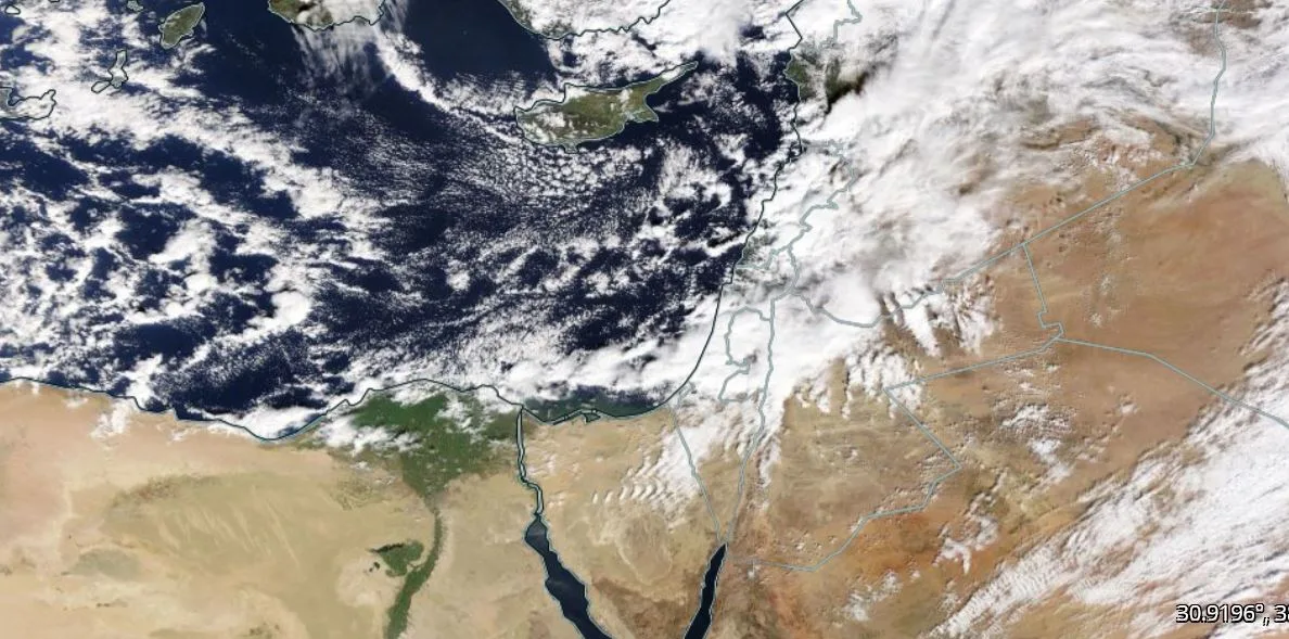
WASM – The winter storm continues to impact the Kingdom, with large additional amounts of rain expected to fall over most regions during the evening and night of Wednesday/Thursday, while snow falls on high mountains exceeding 1100 meters above sea level and accumulates according to elevation.
Precipitation and wind speeds will gradually decline after Thursday afternoon, with temperatures approaching freezing in mountainous areas and freezing occurring, especially in areas that experience snow accumulation during Thursday/Friday night.
Weather remains very cold on Friday with scattered rain in northern and central regions of the Kingdom, while heavy rain is expected to renew on Saturday in northern and central areas with strong winds intensifying and very cold conditions with snow showers not significantly affecting the peaks of high mountains.
The winter storm intensifies on Sunday and Monday with polar cold winds flowing in..
A polar air mass "extremely cold" is moving towards Turkey and then directly towards the eastern Mediterranean basin and the Levant region, leading to stormy conditions and significant precipitation, which will take the form of snow on mountainous highlands. WASM Regional Center continues to monitor the polar air mass and its impact on the Kingdom and details of its effects on various regions. It is premature to talk about a snowstorm or deny its occurrence given the rapid expected changes.
The impact of the polar mass is expected to continue throughout most of next week with intensification of its effects (peak impact) during the end of next week and details to follow.
Massive amounts of precipitation..
The highest amount of precipitation recorded in the capital was in the Khalda area, reaching approximately 74 mm by 12 noon on Wednesday, and 66 mm in Dabuq, and around 40 mm in south of the capital, with massive precipitation amounts expected in the coming days
.