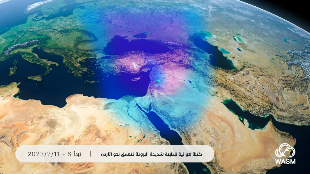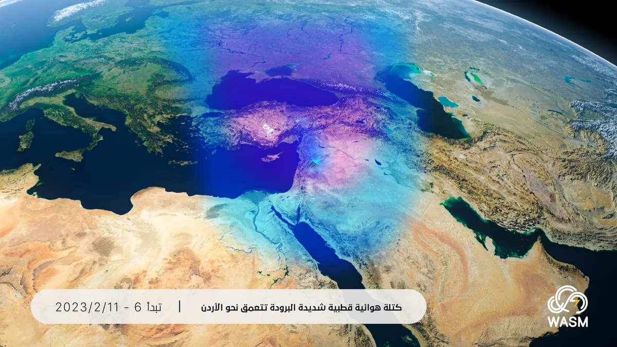
WASM- The Kingdom is being affected by the winter storm "Jood" accompanied by massive and unusual quantities of rainfall, particularly in the central and northern regions of the Kingdom, which are expected to record rainfall amounts equivalent to one-third to one-half of the entire rainy season in some areas, coinciding with snowfall in mountainous areas above 900 meters and stormy winds exceeding 110-120 km/hour.
In detail, the winter storm "Jood" begins to affect the Kingdom in the form of stormy winds on Monday morning with rain showers, and gradually heavy rains will fall during midday, starting from the north of the Kingdom and extending to the center, then later toward the south of the Kingdom during the night.
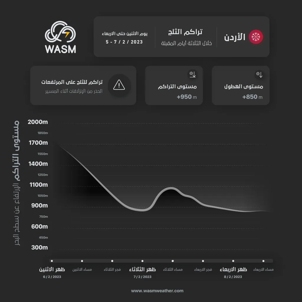
Snow expected above 900 meters..
Snow will fall after midnight between Monday and Tuesday above elevations of 1000 meters, gradually extending to 900 meters. Significant accumulations are not expected in most areas of the capital, but light to variable accumulations will occur in the western and high elevations of Amman, particularly in Sweileih and Tal'a Al-Ali and surrounding areas, with heavy accumulations expected in the elevated areas of the northern regions and parts of the southern mountains.
Additionally, snow precipitation will resume above 900 meters during the night of Tuesday and Wednesday across various mountainous areas with heavy accumulations occurring in the elevated areas of the northern and southern regions of the Kingdom, and light to variable accumulations in the western elevations of Amman and the peaks of Salt.
Snow accumulations in mountainous areas..
Heavy snow accumulations will occur in the elevated areas of the northern regions and parts of the mountains of southern Kingdom from Monday/Tuesday night through Thursday, particularly in elevations above 950-1000 meters above sea level.
Snow is not expected to significantly affect the capital in general, except for the high mountainous areas located west of the capital Amman, where light to variable accumulations are expected depending on elevation.
Very large and unusual rainfall amounts..
Rainfall exceeding 200 mm in the northern regions and 160 mm in the central areas of the Kingdom during the previous days during the winter storm, with expectations that more than 200 mm will fall in parts of the northern and central regions during the coming days of the winter storm "Jood," which means achieving more than 80% of the entire rainy season in just a few days. This is a rare weather event that refutes the reports that had circulated about the Kingdom being affected by a "drought" wave, which were issued by local media outlets that misunderstood the climate changes occurring in Jordan. WASM will work to raise awareness about the climate changes occurring in the Kingdom and to disseminate correct information and the risks of climate changes that have caused an unusual increase in rainfall amounts in recent years, exceeding 150-170%.
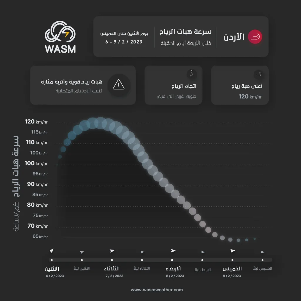
Strong winds and stormy gusts exceeding 110-120 km/hour.
The winter storm "Jood" is expected to cause strong winds and stormy gusts exceeding 120 km/hour in some high mountainous areas due to a sharp difference in surface atmospheric pressure values and the surge of polar-origin winds with severe cold toward the Kingdom, during Monday and Tuesday, with wind speeds gradually decreasing on Wednesday and Thursday.
Decrease in the intensity of the winter storm "Jood" at the end of the week and continuation of successive polar air masses..
Polar air masses will continue over the Kingdom during the end of the week, which means the continuation of intermittent snow precipitation on the mountains. WASM Regional Center is monitoring other polar surges that are expected to begin around mid-month and continue successively until the end of February, which are unusual weather events that have recurred in various regions of countries around the world this season.
WASM issues a red alert level for weather conditions from Monday through the end of the week, and it is advised to continue following the warnings of the Jordanian Meteorology Department and the guidance of the Civil Defense and Public Security during the impact of the winter storm "Jood".