
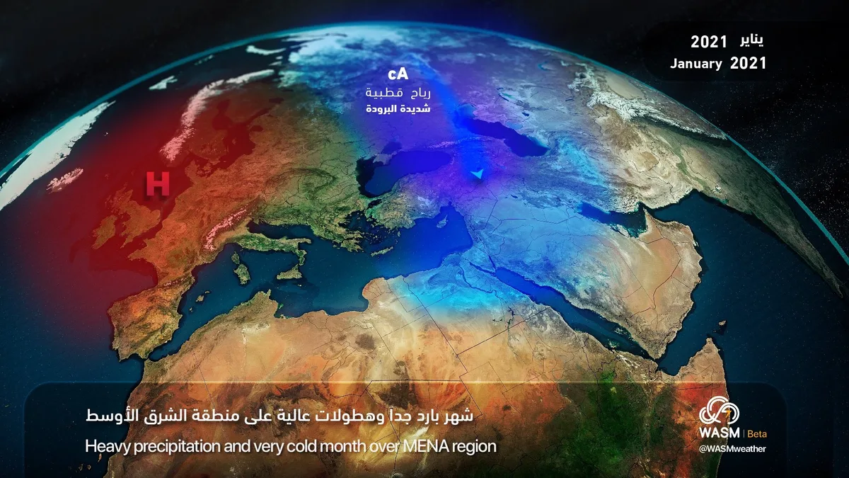
WASM - The coming January 2021 is expected to be colder than usual and characterized by heavy precipitation, especially in the last two weeks of the month and starting from the second week This increases the chances of snow falling in many regions of the Middle East.
In detail, the activity of atmospheric depressions is expected to begin in the eastern Mediterranean starting from the middle of the second week of January, particularly during the period of 8-14 January, accompanied by very cold winds and a significant drop in temperatures.
The strengthening influence of the atmospheric high pressure over wide areas of the European continent is expected around mid-month and during the last two weeks of January, which increases the chance of cold air masses pushing towards the region and increases the chances of snow falling in some areas of the Middle East, parts of the Arabian Peninsula, the eastern Mediterranean basin, and Turkey.
The impact of this on the region is the return of heavy rainfall towards the eastern Mediterranean basin, the Levant, Jordan, and Palestine, with rain concentrated on the central and eastern parts of the Arabian Peninsula and its north, then moving to the southeast towards the United Arab Emirates and Oman, especially in the last two weeks of the month. Snow chances also increase significantly in the last 10 days of January, particularly in northern Arabia and the Levant region and Jordan.
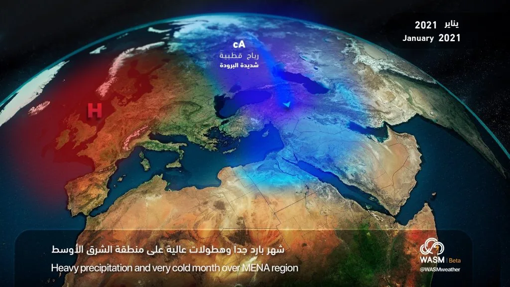
In scientific detail, a phase called the descent of cold air towards the lower atmospheric layers in Europe is expected during the coming week, leading to the formation of several areas of high atmospheric pressure, cold or known as Blocking Anticyclone over wide areas of the northeastern Atlantic, Iceland, and northern and central Europe during the coming week, which reflects an unusual atmospheric arrangement, especially over the Atlantic Ocean region. This causes very cold air masses to be pushed towards eastern Europe and western Siberia, then gradually towards southeastern Europe, the eastern Mediterranean, and northern Arabia, in conjunction with the activity of Atlantic storms to the southwest of the European continent. This is what increases the difficulty in understanding weather maps for many followers. Based on the advanced climate model developed at WASM as well as flexible multiple numerical model technology, we expect a strange arrangement of the atmosphere that allows extremely cold air flow towards the eastern Mediterranean, Turkey, and northern Arabia starting from the middle of the second week of January 2021.
To know the temperatures in your cities, please visit the following link.. www.wasmweather.com