
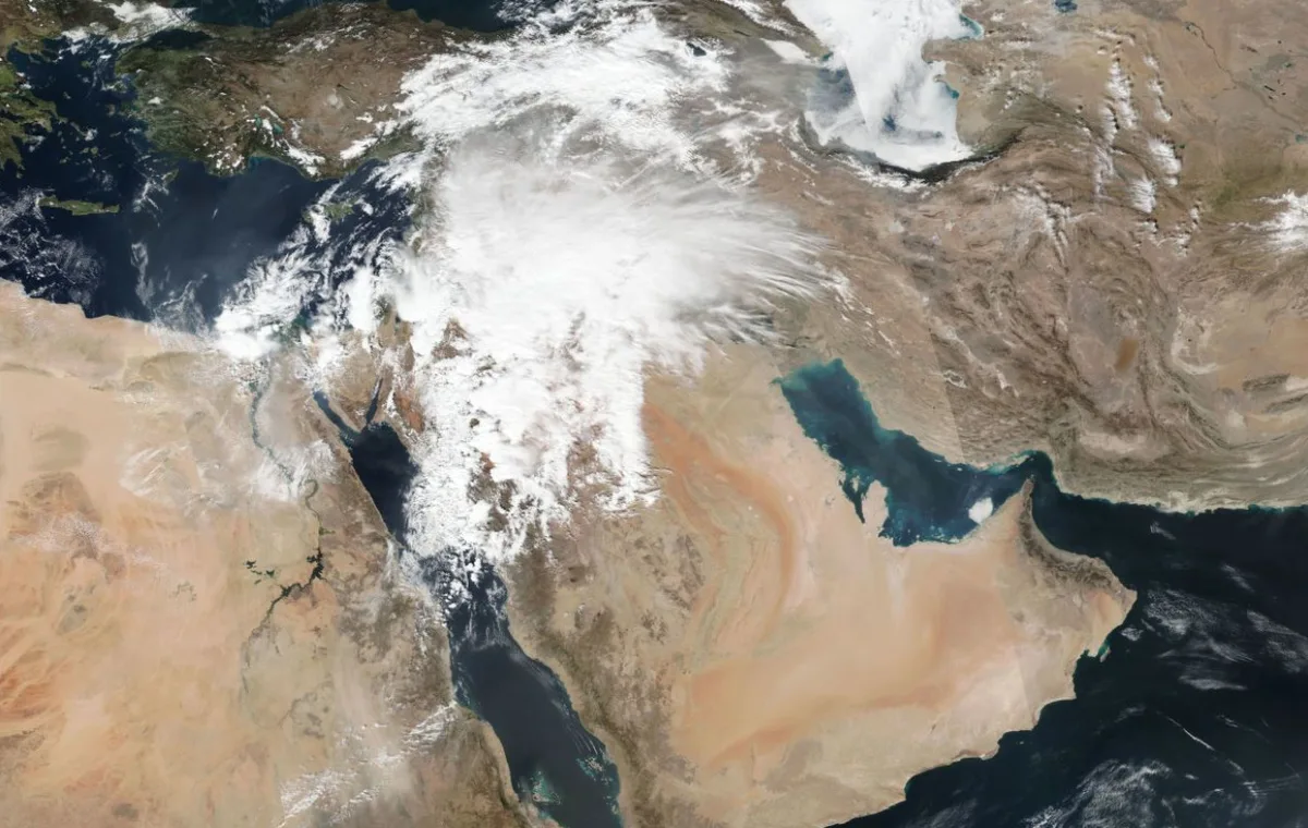
WASM – The rainy weather system reached an area exceeding 2 million square kilometers, which covered vast regions of Saudi Arabia and all areas of Jordan, Sinai, northern Egypt, Palestine, Syria, and parts of Lebanon, and also extended toward Iraq, characterizing it as a regionally influential weather condition caused by a deepened low-pressure system over Jordan.
The cause of the weather condition stems from the presence of a deepened low-pressure system over Jordan coinciding with a cold and humid air mass and the surge of warm, high-humidity winds coming from the Red Sea. This caused high activity during the passage of the cold front accompanying the low-pressure system, the formation of thunderstorms, and heavy rainfall. The low-pressure system affecting the region is classified as an ideal and typical low with complete characteristics in terms of its multiple fronts, strong center, and massive impact.
The low-pressure system caused severe rainfall in vast areas, with rainfall amounts approaching 100 mm in parts of the Tabuk region in northern Saudi Arabia. The weather condition also caused widespread flash floods in Jordan, resulting in 3 missing persons, one death, and several rescue operations. WASM issued the red alert level, which is the highest alert level due to strong weather conditions from the weather situation across vast areas of Jordan and northern Saudi Arabia.
The low-pressure system is positioned during Friday daytime hours over the Jouf region in northern Saudi Arabia, with its massive cold front located over the Hail region and northern borders, extending toward Mecca and Medina and the coasts of those areas, causing continued heavy rainfall and flash flood formation. Rainfall is expected to extend to Qassim, Hafar Al-Batin, Kuwait, and other Iraqi regions tonight and Saturday.
Weather stability is expected at the beginning of the week with a gradual temperature rise, but this stability is not expected to last long as the succession of low-pressure systems continues over the region, which will be accompanied in the coming periods by cold polar air masses, especially during periods around mid-month, causing increased chances of snowfall in the highlands of Jordan, northern Saudi Arabia, and the countries of the Eastern Mediterranean basin and Turkey.
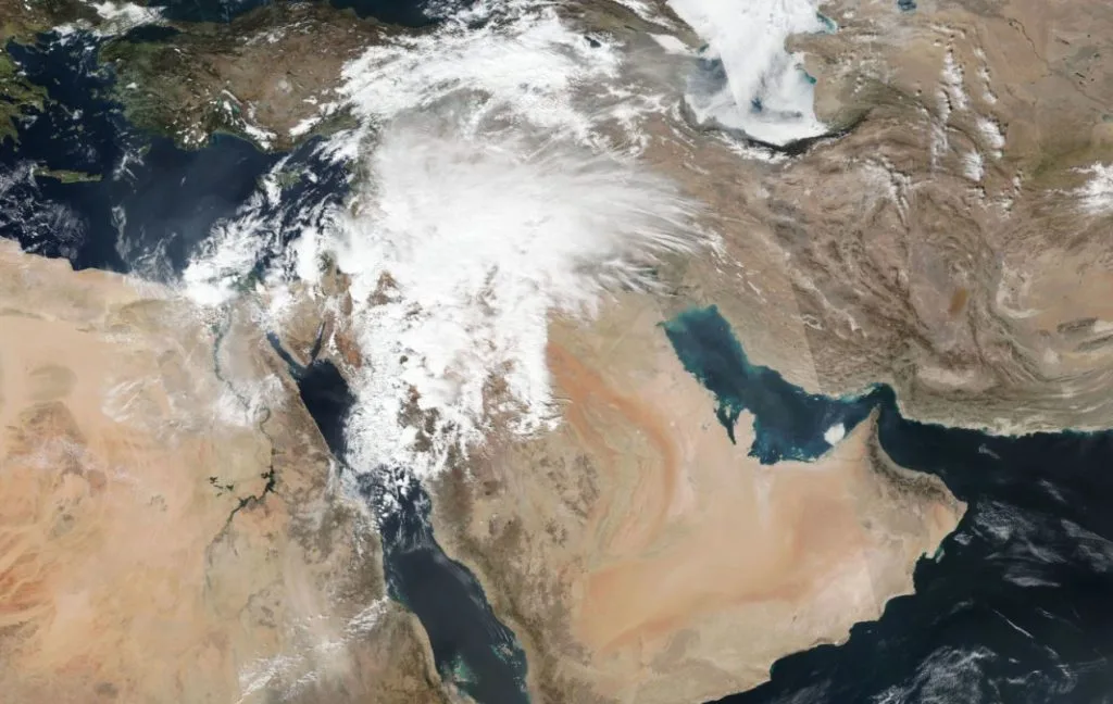
The current rainy season has been characterized by the succession of rainy weather conditions and low-pressure systems and an increase in precipitation quantities in many areas with no significant rainfall interruption periods, as these interruptions were characterized by their short duration in contrast to previous years.
To find out the temperatures in your cities, please visit the following link.. www.wasmweather.com