
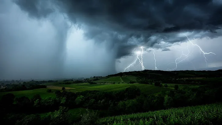
WASM - The WASM Regional Center has issued a red alert level, the highest weather alert level, due to strong weather conditions expected to begin Monday night through Wednesday dawn across various regions of the kingdom, with the intensity concentrated on the central regions and the Dead Sea, resulting from the kingdom being affected by a deep atmospheric low. The heavy rainy weather condition is expected to cause flash floods in many areas amid strong winds at times.
Details|
The kingdom will begin to be affected by atmospheric disturbances from Sunday/Monday night, resulting in scattered rain showers and occasional wind activity with generally spring-like temperatures.
Starting from Monday daytime, the country begins to be affected by the atmospheric low, so winds will gradually increase and thunderstorm rain showers will fall across different areas, intensifying during Monday/Tuesday evening and night and becoming "extremely heavy."
A deep and highly effective cold front will begin Monday/Tuesday night, causing a sharp and significant temperature drop, coinciding with large quantities of humidity ahead of it, causing extremely heavy rainfall across different areas, especially the central region and the Dead Sea including the capital Amman, Zarqa, Madaba, and surrounding areas.
Tuesday's weather will be heavily rainy and stormy at times, with thunder, lightning, and hail, and gradually during Tuesday/Wednesday night the weather condition will gradually weaken and the atmosphere will remain cold and rainy in general until Wednesday daytime at intervals with dense fog formation in the mountains.
The weather will stabilize temporarily Wednesday evening and Thursday daytime, before expecting renewed heavy rainfall at the end of the week amid cold and winter conditions and temperatures several degrees below seasonal averages.
Scientific Analysis|
With the analysis of numerical models, experts at the WASM Regional Center noticed a sharp extension of the Red Sea low accompanied by a warm and high-moisture air mass, which will be noticed through the presence of large quantities of clouds before the atmospheric low affects the region.
The atmospheric low forms over Jordan and deepens rapidly over northern Syria and its coasts, leading to a complete merger of the Red Sea low with the Mediterranean atmospheric low, and this atmospheric organization leads to great atmospheric activity and the fall of very large quantities of rain.
As a result of high atmospheric activity especially in the middle and upper layers of the atmosphere and its coldness, as well as high humidity quantities driven from the Arabian Sea and Mediterranean Sea together toward the region, this leads to extreme rainfall rates and causes flash floods to form rapidly and suddenly in many areas, especially the central and southern regions.
The atmospheric high continues to be positioned over Europe, causing the rush of a very cold air mass toward the eastern Mediterranean at the end of the week and the return of heavy rainfall to vast areas and possibly even snow falling on the peaks of high mountains from Syria and Lebanon specifically.
The WASM Regional Center has issued several weather bulletins using its advanced climate model to forecast the extension of the rainy season for a long period and the continuation of atmospheric disturbances and atmospheric lows until at least the middle of the holy month.
It is possible to follow the monthly weather bulletin for Ramadan through this link to learn about the expected weather conditions in the region.