
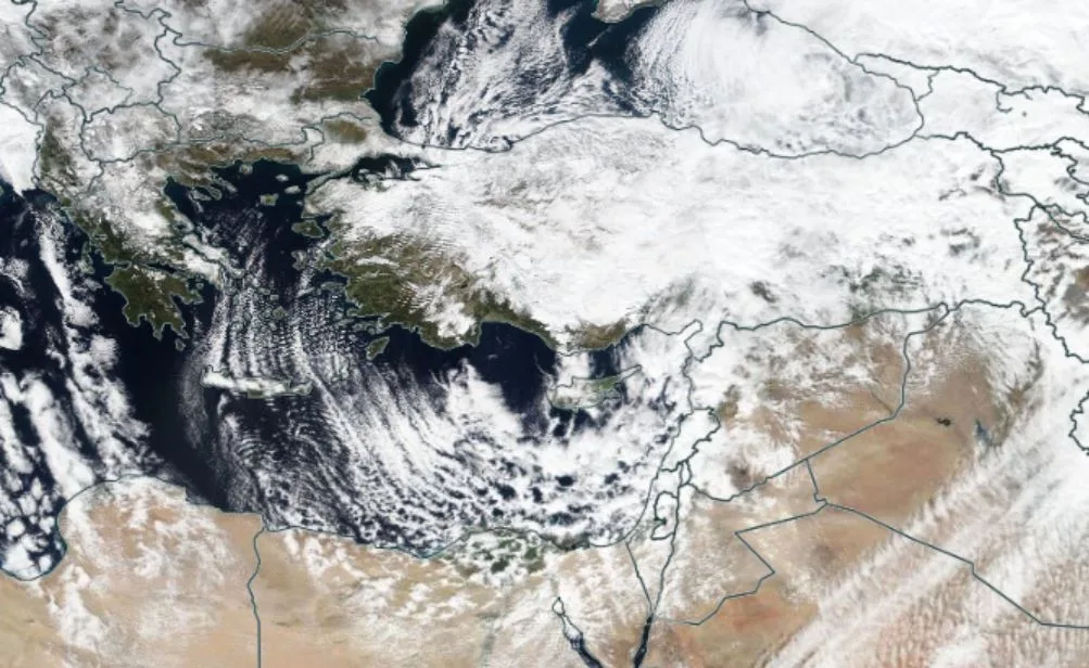
WASM- Jordan and regional countries were affected by a regional blizzard that is considered the strongest and largest in many years. The impact of this massive snowstorm extended over large areas of regional countries, affecting more than 10 countries in the region including Jordan, Palestine, Syria, Lebanon, Turkey, Cyprus, Greece, Iraq, northern Saudi Arabia, and all areas of Eastern Europe and Russia.
Snow depths in Ajloun, north of Jordan, reached 1 meter, and the high peaks of the capital Amman reached 35-40 cm with massive accumulations in many areas of Palestine, Turkey, and Syria. These thicknesses are considered the largest since the Alexa blizzard in 2013. The impact of the storm continued for over 30 hours on the northern regions of Jordan and 15 hours in the capital Amman, coinciding with strong winds that reached gusts of over 100 km/hour, making it a heavy-duty blizzard.
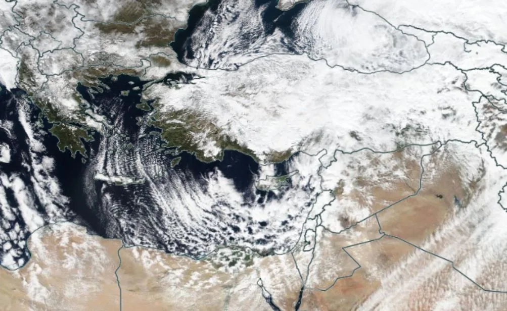
In scientific detail, a massive high-pressure system formed suddenly and rapidly in central and northern Europe, which pushed a mass of cold air from the North Pole and from latitude 80-85 degrees north directly toward Eastern Europe, then Turkey and the Black Sea after February 10. With the continued push of polar air southward, it reached the Mediterranean on February 15, causing a very deep low-pressure system to form with a center of 995 millibars. This led to wind activity and the formation of dense clouds, which resulted in severe precipitation in the form of heavy accumulating snow over mountainous areas. Snow accumulation levels dropped below 600 meters with significant accumulations above 800 meters.
The massive blizzard caused road closures, power outages, tree damage, agricultural sector damage, traffic accidents, many vehicles being stranded, disruption of work and private and government institutions, and suspension of air traffic. The region has not witnessed a blizzard at this level in many years.
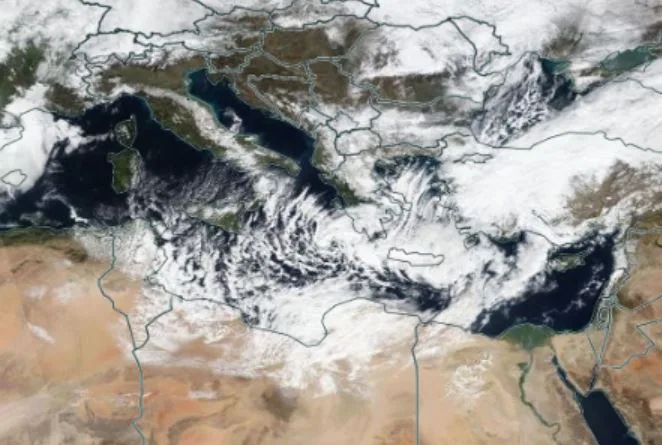
Many countries around the world are experiencing strong blizzards that have begun to reach areas characterized by a warm climate, as happened in Texas in the southern United States. According to experts at the WASM Regional Center, the reason for this is the extreme behavior of "Rossby waves" in the atmosphere. Rossby waves are areas where cold air moves southward and warm air moves northward, appearing as waves in the atmosphere, which result in unstable weather conditions and storms, especially during winter. These waves experienced significant extremes in their movement, which caused polar air to reach areas that do not usually experience such weather conditions.
It is expected that these weather conditions will continue in the atmosphere until the end of spring season, with predictions of more of these strong storms in various regions of the world.
The WASM Regional Center was unique in forecasting the blizzard with high precision details. It was able to determine its intensity and snow precipitation levels well in advance, characterized by consistency without causing confusion or chaos. This was due to the development of a technology called W.DMM. This technology, developed by the WASM Regional Center, works by reading various data from numerical weather prediction models and reading the variables of these maps. This technology works on determining the correct and precise probability. The WASM Center also developed a special climate model called Climate Model, which specializes in long-range forecasts. It was able to predict this blizzard more than a month in advance.