
WASM | Cold and Wintry Low-Pressure Systems to Begin by the End of the Week, Bringing Persistent Widespread Heavy Rainfall and Potential Record-Breaking Totals in Some Areas
- A highly active low-pressure system is expected to develop by the end of the week, bringing significant rainfall accumulations across the Levant, including Jordan, Palestine, Syria, and Lebanon. Its influence is then expected to extend into large parts of Saudi Arabia next week, with the potential for very substantial rainfall totals.
- Another tropical wave, deeper and richer in moisture, is being monitored for next week. It is expected to coincide with the early-season cold low-pressure system, resulting in further heavy rainfall across extensive areas of Saudi Arabia, the Gulf countries, Iraq, and Kuwait. The rainfall is expected to include the Riyadh Region, Al-Qassim, and the Eastern Province for the first time this season, with significant rainfall accumulations anticipated.
- The recent major rainfall event caused losses and fatalities across parts of the Levant and Iraq. The regional WASM Center was the only regional source to identify this weather event at an early stage through its W.DMM model and proprietary climate model.
The November 2026 Monthly Outlook has been issued.
Detailed Forecast by Region and Country
Details of the Cold Low-Pressure Systems During the Second Half of the Week
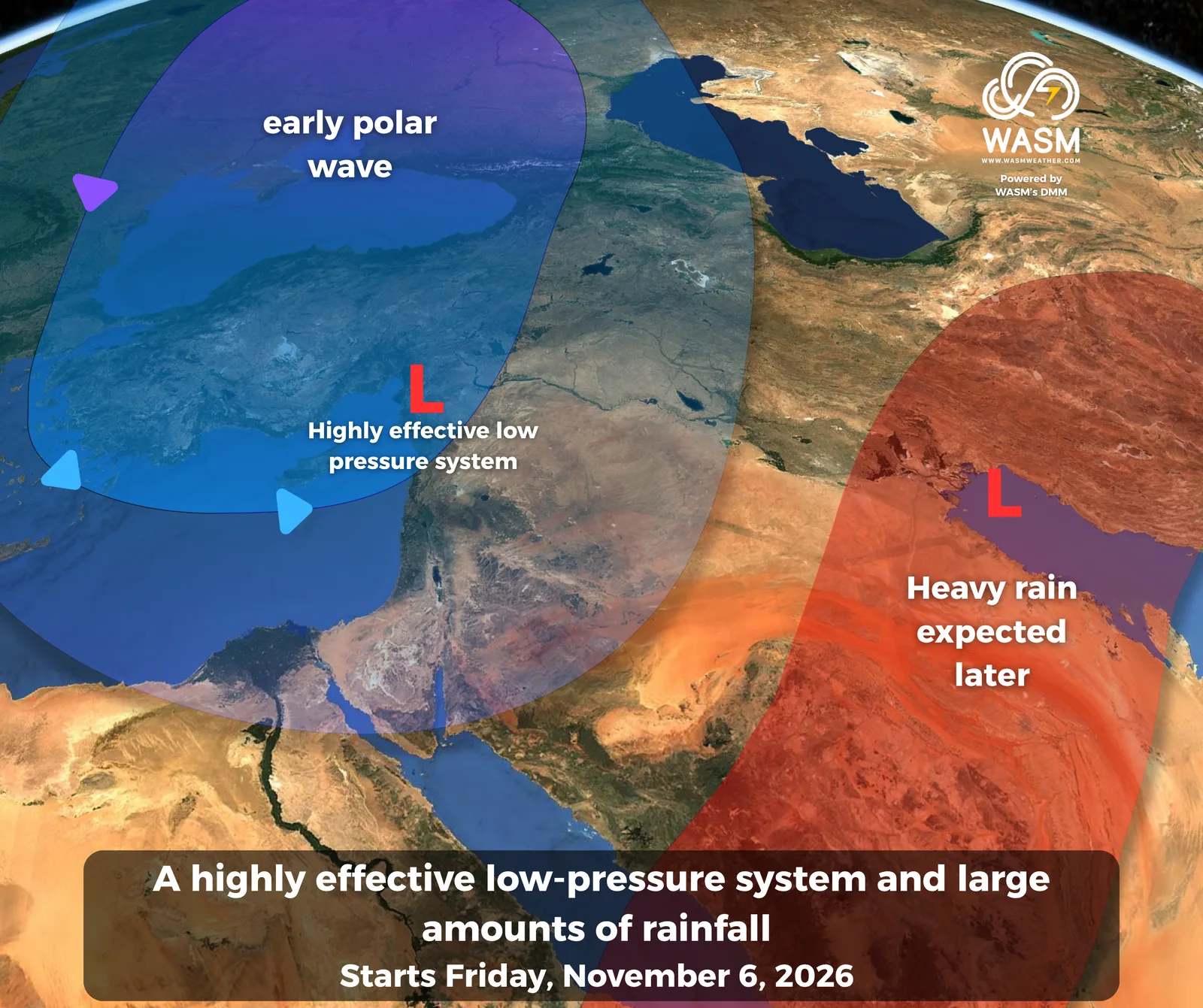
Several cold and rain-bearing low-pressure systems are expected to develop, coinciding with the approach of polar air masses to the region, a relatively rare occurrence for this time of year.
These systems are forecast to interact with a deepening, moisture-rich tropical wave originating from the Arabian Sea, producing a new regional rainfall event that begins over the Levant by the end of the week before expanding next week across the Arabian Peninsula, particularly central, eastern, and northern Saudi Arabia, as well as Kuwait, Iraq, and the Levant.
Saudi Arabia, the Gulf Region, and the Arabian Peninsula
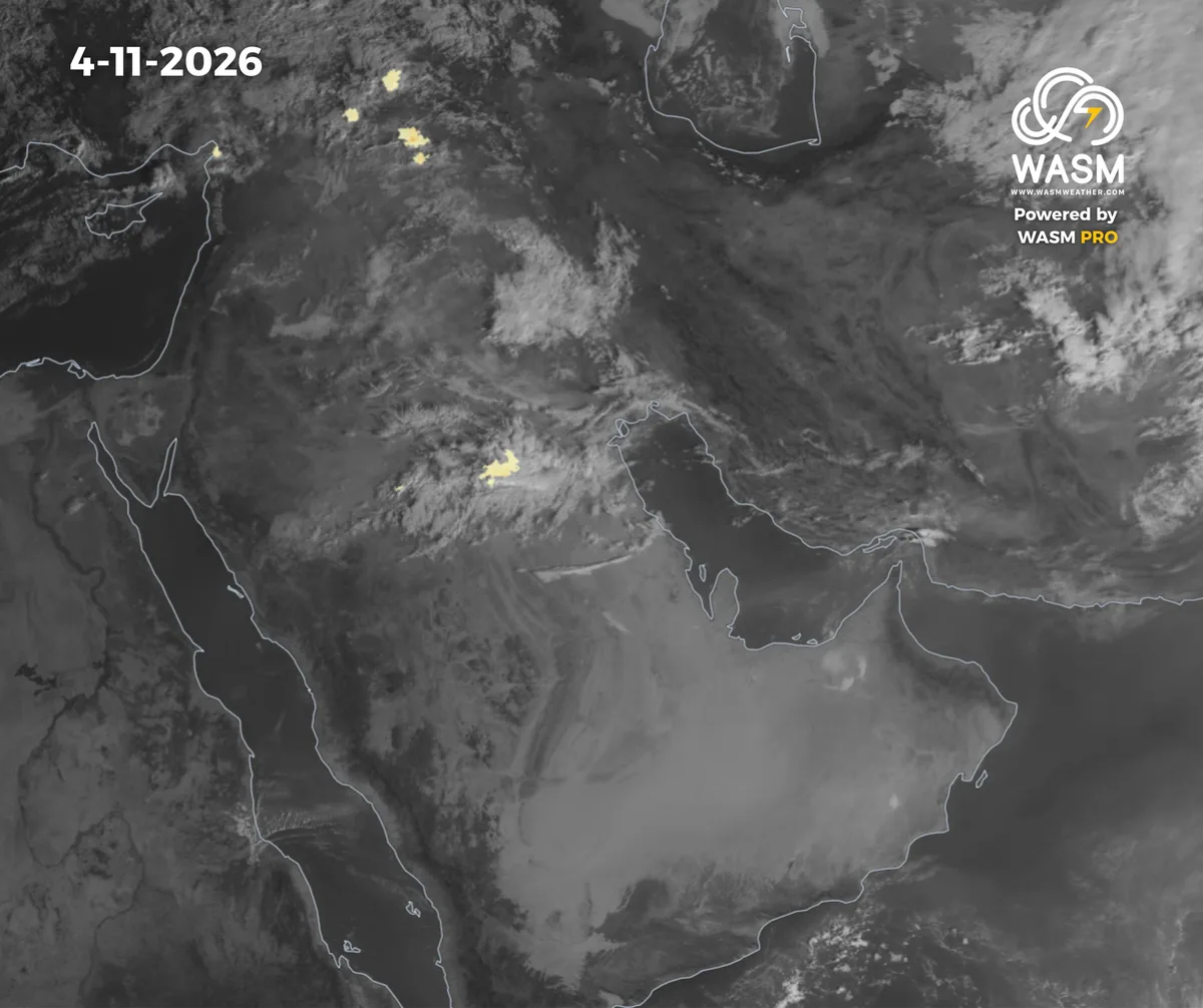
Rainfall is expected to intensify somewhat on Wednesday and Thursday across the Northern Borders Region, Kuwait, and Hafar Al-Batin as cold low-pressure systems approach the eastern Mediterranean.
Thunderstorms may occasionally extend into northern parts of the Riyadh Region and portions of the northern Eastern Province in a scattered manner.
Temperatures are forecast to drop significantly across northern and northwestern Saudi Arabia, with winter-like conditions arriving unusually early.
A widespread regional rainfall event is expected to affect large parts of Saudi Arabia and the Gulf countries next week, focusing primarily on central and eastern Saudi Arabia, northeastern regions, Iraq, and Kuwait.
The Levant
The Levant is expected to be affected by a cold and heavy rain-producing low-pressure system beginning Wednesday over northwestern Syria, then Lebanon, before extending into Jordan and Palestine on Friday.
The system is expected to continue into the beginning of next week, bringing substantial rainfall accumulations across most areas along with cold and wintry weather conditions.
Jordan
Temperatures are expected to decline, accompanied by stronger winds.
Rain showers are forecast across parts of northern and central Jordan on Thursday amid cold weather in advance of a highly active low-pressure system expected to arrive on Friday.
Heavy rainfall is forecast from Friday through next Sunday, and parts of northern and central Jordan may record significant rainfall totals amid unusually early cold and wintry conditions for this time of year.
Successive low-pressure systems and rainfall events are expected to affect Jordan over the coming weeks, interrupted only by brief and temporary warm spells.
Syria
Polar air masses are expected to approach the region beginning Wednesday through northwestern Syria, bringing heavy rainfall and cold wintry weather.
The rainfall is expected to intensify on Friday and spread across different parts of the country, with very high rainfall accumulations expected in many areas, particularly along the coast. Record-breaking totals remain possible.
Rainfall events are expected to continue during the coming period as low-pressure systems remain active, while the risk of flash flooding stays elevated.
Palestine
Polar air masses are expected to approach the region beginning Thursday, with scattered showers developing initially.
The low-pressure system will deepen on Friday, bringing widespread and substantial rainfall across most parts of Palestine, continuing through Sunday.
Successive low-pressure systems are expected to continue affecting the region, with several strong peaks anticipated during certain periods.
Lebanon
A highly active low-pressure system is expected to affect Lebanon from Thursday through the beginning of next week, bringing heavy rainfall, significant precipitation accumulations, and snowfall over the higher mountain elevations.
Iraq
Thunderstorms are expected to continue during the coming days in the form of heavy rain showers affecting different areas intermittently.
More widespread and heavier rainfall is expected by the end of the week as low-pressure systems over the Mediterranean and the Levant influence the region, increasing the risk of flash flooding.
Heavy rainfall events are expected to continue across Iraq, with several powerful and highly active peaks anticipated during the coming weeks.
For more information and smart weather alerts, download the WASM Weather app:
iOS: WASM Weather on the App Store
Google Play: WASM Weather on Google Play