
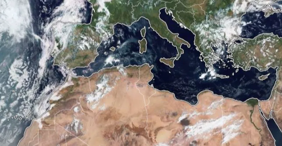
WASM- The WASM Regional Center has issued data from the climate model it developed indicating a "high" probability of forming a strong storm in the Mediterranean region around mid-September, and indeed computational model data has already begun detecting the formation of a strong storm in the central Mediterranean region by the end of the new week, heading directly toward the eastern Mediterranean region before mid-month.
- Introduction..
As a result of high activity of tropical waves from the Arabian Sea region extending to the African tropical region, and most importantly the weakening of the subtropical jet stream, which has caused cooler winds than usual to flow over the Mediterranean Sea surface, which is suffering from unprecedented high temperatures, this will result in severe weather disturbances in the Mediterranean region and the formation of a strong storm over northeastern Algeria and southern Italy by the end of the new week, then deepening over the central Mediterranean region due to water warmth.
This strong storm, as it moves toward the eastern Mediterranean and as a result of unusual jet stream patterns, and the concentration of a very strong high-pressure zone over most European regions, will result in this storm deepening near Greece and northern Libya, extending to the eastern Mediterranean.
Typically, these tropical waves move toward the Atlantic Ocean, but the subtropical jet stream and its weakness in the eastern Atlantic region and its impact on the Mediterranean have caused this tropical wave to change course and are expected to transform into a very rare, and possibly unprecedented, tropical storm, and the WASM Regional Center will continue to monitor this storm constantly.
- Storm characteristics..
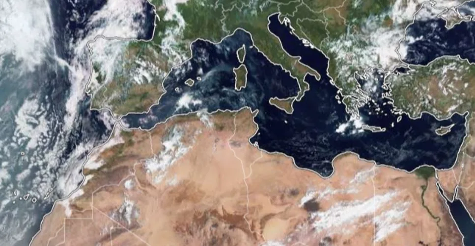
Remarkably, the storm's characteristics will be "tropical" in nature, which is unprecedented in modern climate records in the Mediterranean region, and with the flow of cold winds from the Aegean Sea in the eastern and central Mediterranean region, this storm will take on baroclinic-frontal characteristics- and may take on subtropical characteristics later, which could classify it among the rarest storms in the Mediterranean region, and this storm will bring very large quantities of rain to the Mediterranean region and high chances of flooding, gusty winds, and sea disturbances.
- Will the storm reach the eastern Mediterranean and the Levant region?
With the study of data from the WASM Regional Center's climate model, as well as computational model data and its processing through the W.DMM technology that WASM is developing, the probability of the storm reaching the eastern Mediterranean and the Levant coasts is high before mid-month or around mid-month, with the expectation of significant weather disturbances occurring in the Levant region during the third week of the month, and with the continued dominance of a strong high-pressure zone over most European regions and the continued surge of tropical waves toward the Arabian Peninsula and the African region.